Transport Functions
Multimodal
Hub Profile
Place type
Populated place
Region
Uttarakhand
Time zone
Asia/Kolkata
Elevation
515 m
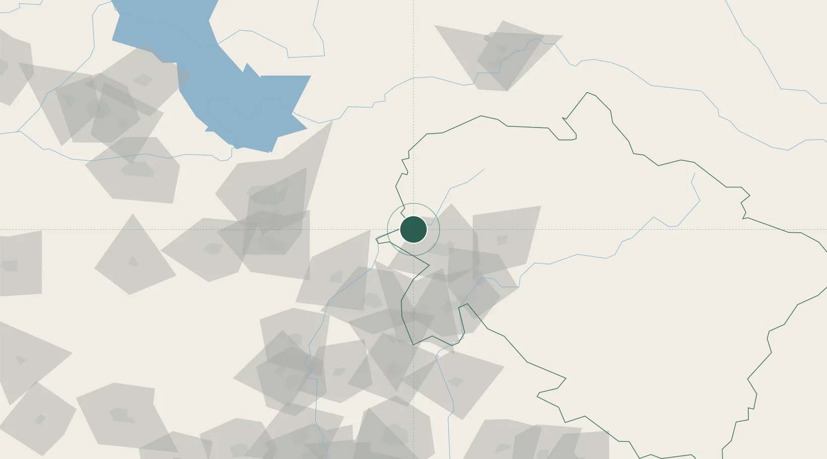
Location
Nearby Logistics Neighbours
Cities
- 1Barotiwala7 km
- 2Ambala Cantonment44 km
- 3Kala Amb61 km
- 4Parwanoo93 km
- 5Lalru99 km
Airports
- 1Dehradun Jolly Grant Airport46 km
- 2Ambala Air Force Station98 km
- 3Shaheed Bhagat Singh International Airport102 km
- 4Kullu Manali Airport168 km
- 5Ludhiana Airport185 km
Trade Zones
DatabookThe Record of Consolidated Knowledge
India beyond logistics?