Large airport · India

Shaheed Bhagat Singh International AirportVICG
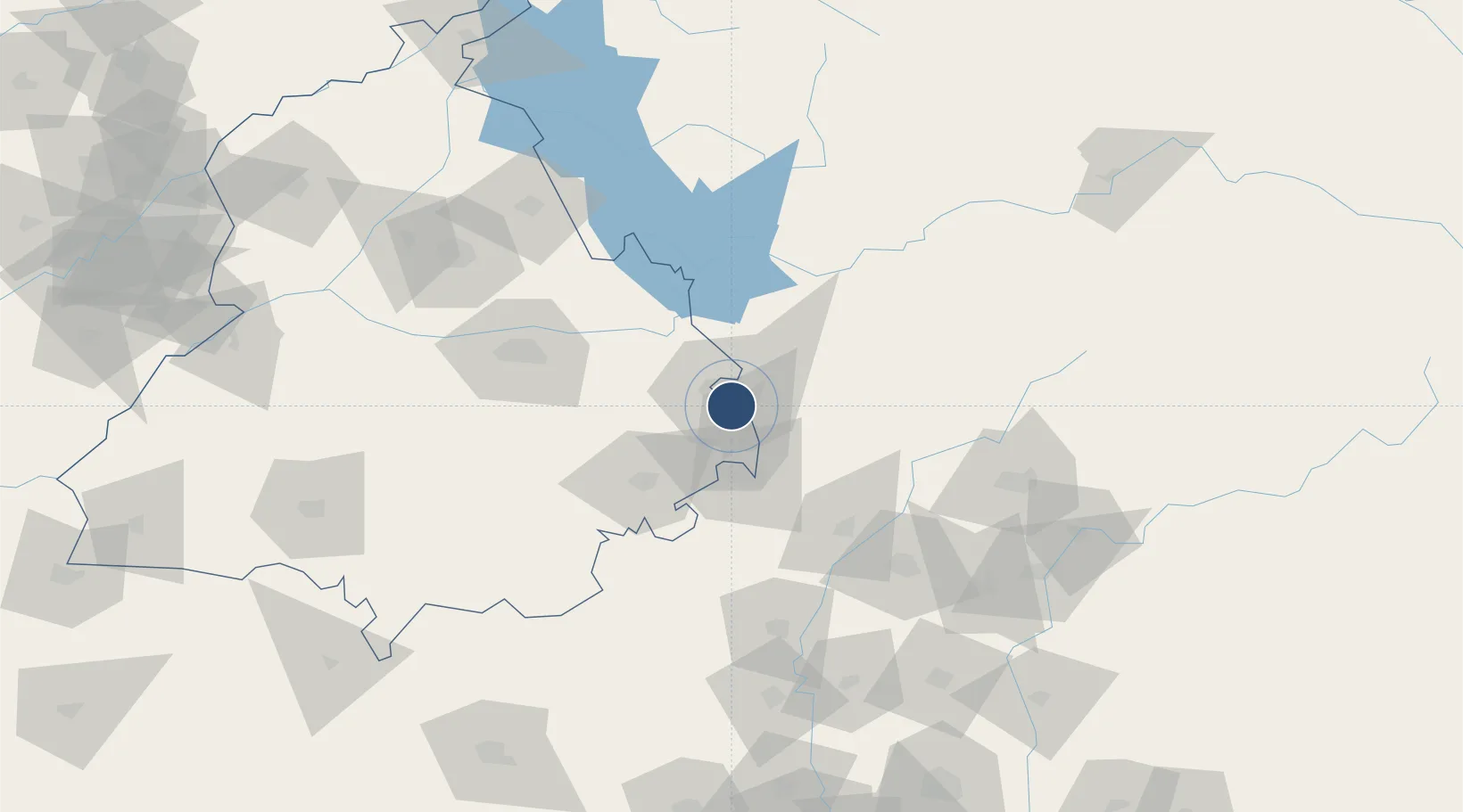
30.6735°, 76.7885°
12,467 ft
Longest runway
1
Runways
1,012 ft
Elevation

Runway & Layout

Shaheed Bhagat Singh International Airport runway & taxiway layout
Runway & taxiway layout — OpenStreetMap (ODbL) / OurAirports

Radio Frequencies

TWR
118.6 MHz
APP
118.3 MHz
OurAirports

Navaids

CG NDB Chandigarh 228 kHz
CHG VOR-DME Chandigarh 116.50 MHz
OurAirports

Runways · 1

RunwayDimensions SurfaceTrue headingLit
11/29 12,467 × 148ft Asphalt 114°
OurAirports

Airport Specifications

IATA code
IXC
OurAirports
ICAO code
VICG
OurAirports
Airport class
Large airport
OurAirports
Scheduled service
Yes
OurAirports
Runway surface
Asphalt
OurAirports
Served city
Chandigarh
OurAirports

Location

Location of VICG
Natural Earth 10m (public domain) · Punjab · VICG · 30.67, 76.79GoogleOSMYandex

Nearby Logistics Neighbours

Airports
  1. 1Ambala Air Force Station34 km
  2. 2Ludhiana Airport82 km
  3. 3Halwara International Airport111 km
  4. 4Adampur Airport130 km
  5. 5Kullu Manali Airport138 km
Nearest neighbours — logibook spatial index (haversine) over the source coordinates
Cities
  1. 1DCA-II SEZ/Chandigarh7 km
  2. 2DCA-I SEZ/Chandigarh7 km
  3. 3Dappar18 km
  4. 4Lalru21 km
  5. 5Parwanoo24 km
Nearest neighbours — logibook spatial index (haversine) over the source coordinates
Ports
  1. 1Navlakhi1064 km
  2. 2Kandla1070 km
  3. 3Dahej1084 km
  4. 4Bhavnagar1089 km
  5. 5Bedi1122 km
Nearest neighbours — logibook spatial index (haversine) over the source coordinates
DatabookThe Record of Consolidated Knowledge
India beyond logistics?
Browse databook

All Sources

AirportsOurAirports
Public domain
Portsthe NGA World Port Index
Public domain (US gov)
LocationsUN/LOCODE
UN/LOCODE — free
Trade Zonesthe World Bank SEZ database
CC BY 4.0
Trade ZonesOpen Zone Map
CC BY
InfrastructureOpenStreetMap
ODbL 1.0
← India airports