Transport Functions
Road
Multimodal
Hub Profile
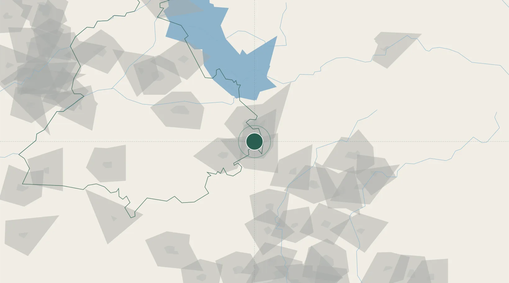
Place type
Populated place
Region
Punjab
Population
5,936
Time zone
Asia/Kolkata
Elevation
287 m
Location
Nearby Logistics Neighbours
Cities
- 1Lalru4 km
- 2DCA-II SEZ/Chandigarh24 km
- 3DCA-I SEZ/Chandigarh24 km
- 4Parwanoo38 km
- 5Kala Amb38 km
Airports
DatabookThe Record of Consolidated Knowledge
India beyond logistics?