Transport Functions
Rail
Road
Hub Profile
Place type
Populated place
Region
Uttarakhand
Time zone
Asia/Kolkata
Elevation
471 m
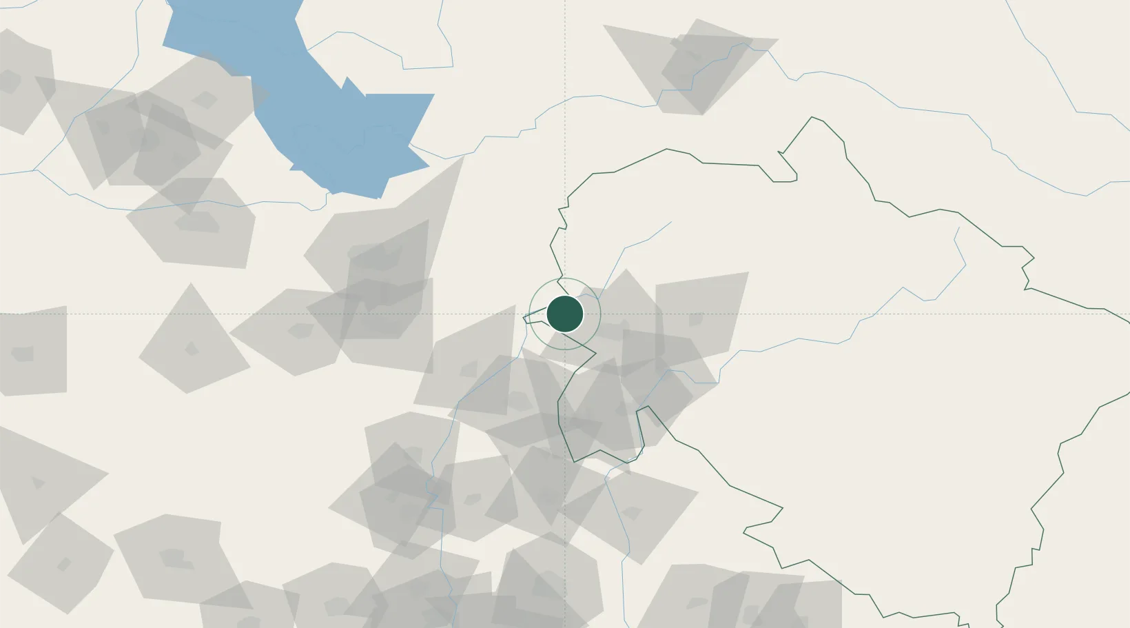
Location
Nearby Logistics Neighbours
Cities
- 1Barwala7 km
- 2Ambala Cantonment41 km
- 3Kala Amb56 km
- 4Parwanoo91 km
- 5Lalru94 km
Airports
DatabookThe Record of Consolidated Knowledge
India beyond logistics?