Transport Functions
Port
Hub Profile
Place type
Regional capital
Region
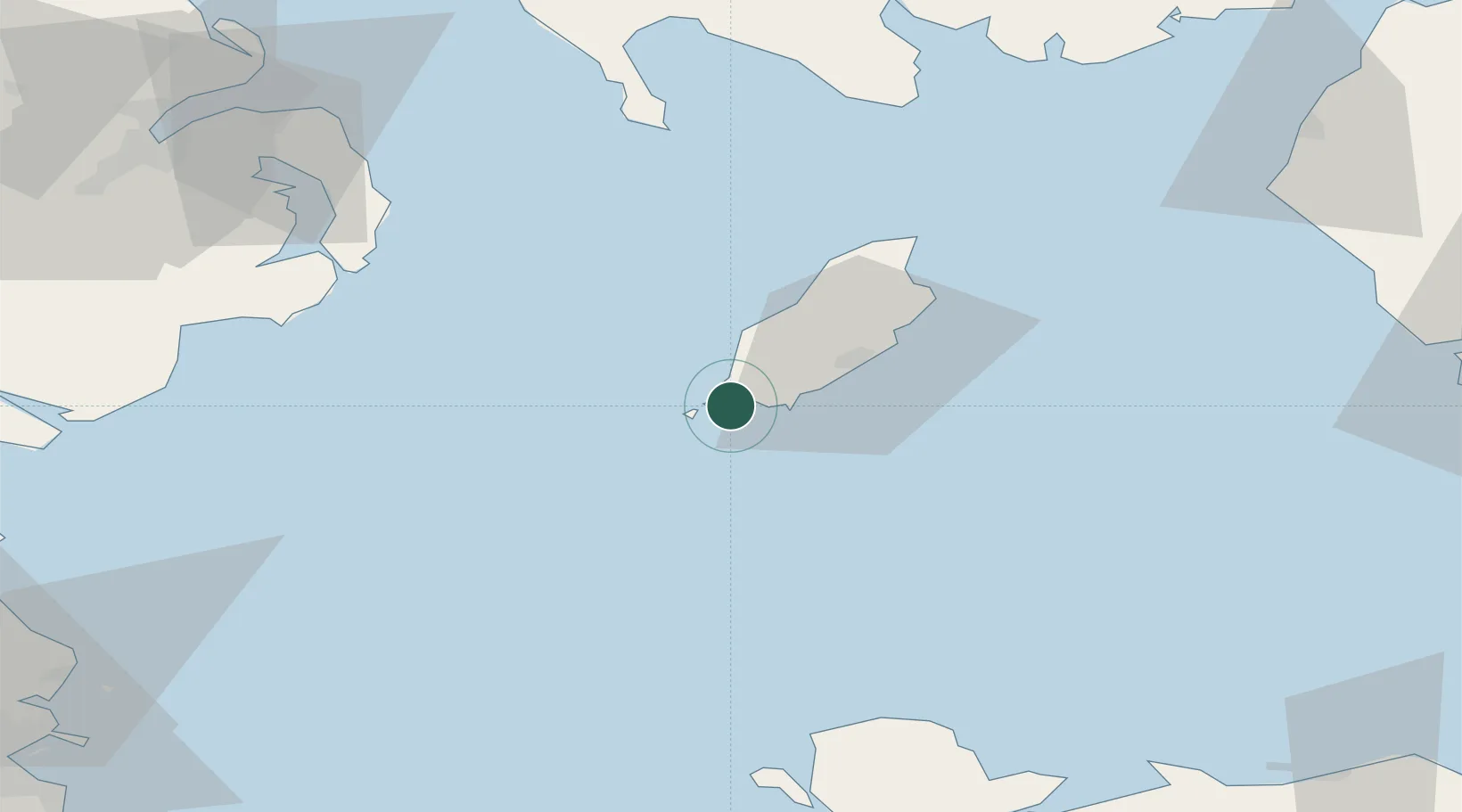
Port St Mary
Time zone
Europe/Isle_of_Man
Elevation
10 m
Location
Nearby Logistics Neighbours
Cities
- 1Port Saint Mary0 km
- 2Port Erin3 km
- 3Castletown6 km
- 4Santon11 km
- 5Peel17 km
Airports
- 1Isle of Man Airport7 km
- 2Anglesey Airport92 km
- 3Barrow Walney Island Airport96 km
- 4George Best Belfast City Airport96 km
- 5Blackpool Airport116 km
Trade Zones
DatabookThe Record of Consolidated Knowledge
Isle of Man beyond logistics?