Transport Functions
Port
Road
Hub Profile
Place type
Regional capital
Region
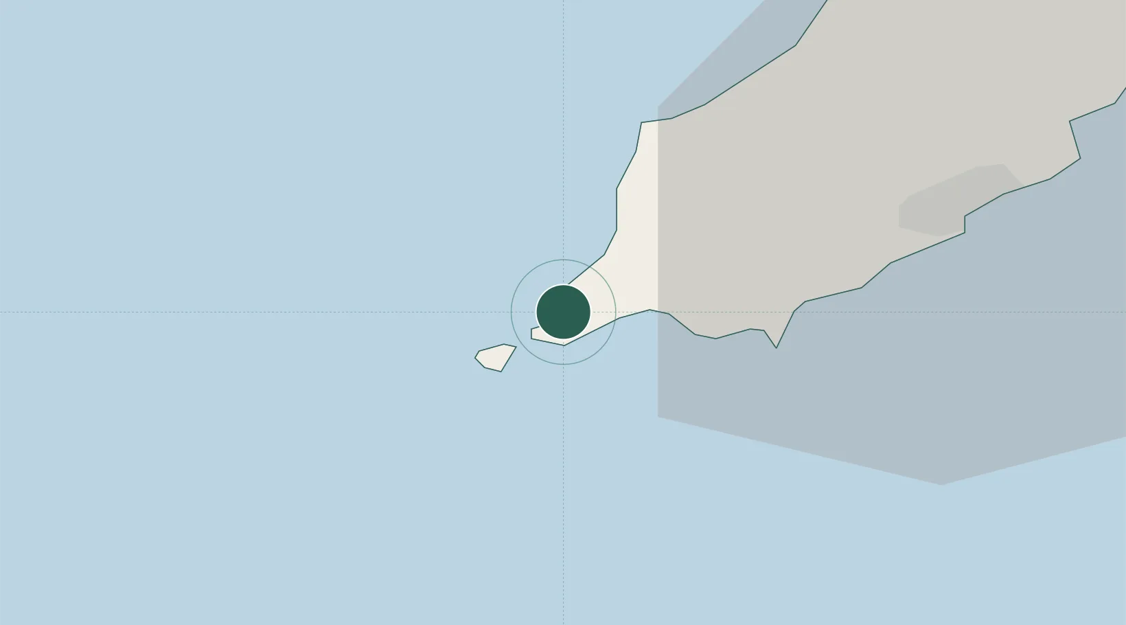
Port Erin
Population
3,530
Time zone
Europe/Isle_of_Man
Elevation
24 m
Location
Nearby Logistics Neighbours
Cities
- 1Port Saint Mary3 km
- 2Port Saint Mary3 km
- 3Castletown8 km
- 4Santon13 km
- 5Peel15 km
Airports
Trade Zones
DatabookThe Record of Consolidated Knowledge
Isle of Man beyond logistics?