UN/LOCODE hub · Ireland
IEDFB

Dublin-Ferryport Terminal 2

53.3167°, -6.2000°
1
Transport functions

Transport Functions

Port
UN/LOCODE

Hub Profile

Region
D
GeoNames

Location

Location of IEDFB
Natural Earth 10m (public domain) · D · IEDFB · 53.32, -6.20GoogleOSMYandex

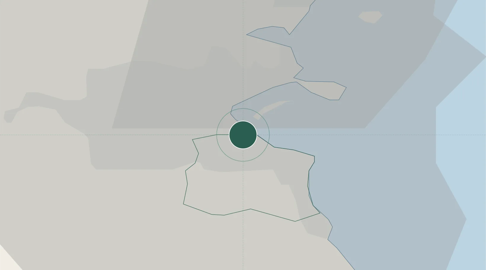
Nearby Logistics Neighbours

Cities
  1. 1Ballsbridge1 km
  2. 2Dublin-Ferryport Terminal 11 km
  3. 3ESB Poolbeg-Dublin2 km
  4. 4Blackrock2 km
  5. 5Dublin-Ferryport Terminal 32 km
Nearest neighbours — logibook spatial index (haversine) over the source coordinates
Ports
  1. 1Dublin5 km
  2. 2Drogheda45 km
  3. 3Greenore80 km
  4. 4Kilkeel83 km
  5. 5Warren Point87 km
Nearest neighbours — logibook spatial index (haversine) over the source coordinates
Airports
  1. 1Dublin Airport13 km
  2. 2Casement Air Base17 km
  3. 3Weston Airport20 km
  4. 4Anglesey Airport111 km
  5. 5Isle of Man Airport134 km
Nearest neighbours — logibook spatial index (haversine) over the source coordinates
Trade Zones
  1. 1Dublin International Financial Services Centre5 km
  2. 2Isle of Man Free Zone and Business Park135 km
  3. 3Shannon Free Zone193 km
  4. 4Mersey Waters Enterprise Zone211 km
  5. 5Blackpool Enterprise Zone215 km
Nearest neighbours — logibook spatial index (haversine) over the source coordinates
DatabookThe Record of Consolidated Knowledge
Ireland beyond logistics?
Browse databook

All Sources

LocationsUN/LOCODE
UN/LOCODE — free
Portsthe NGA World Port Index
Public domain (US gov)
AirportsOurAirports
Public domain
Trade Zonesthe World Bank SEZ database
CC BY 4.0
Trade ZonesOpen Zone Map
CC BY
← Ireland locations