Transport Functions
Rail
Road
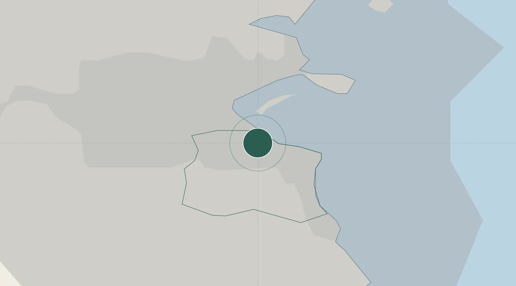
Hub Profile
Place type
Populated place
Region
Leinster
Population
8,821
Time zone
Europe/Dublin
Elevation
15 m
Location
Nearby Logistics Neighbours
Cities
- 1Dublin-Ferryport Terminal 12 km
- 2Dublin-Ferryport Terminal 22 km
- 3Ballsbridge3 km
- 4Dun Laoghaire3 km
- 5ESB Poolbeg-Dublin4 km
Ports
- 1Dublin7 km
- 2Drogheda47 km
- 3Greenore82 km
- 4Kilkeel84 km
- 5Warren Point89 km
Airports
- 1Dublin Airport15 km
- 2Casement Air Base18 km
- 3Weston Airport21 km
- 4Anglesey Airport110 km
- 5Isle of Man Airport135 km
Trade Zones
DatabookThe Record of Consolidated Knowledge
Ireland beyond logistics?