Transport Functions
Port
Hub Profile
Place type
Populated place
Region
East Java
Time zone
Asia/Jakarta
Elevation
289 m
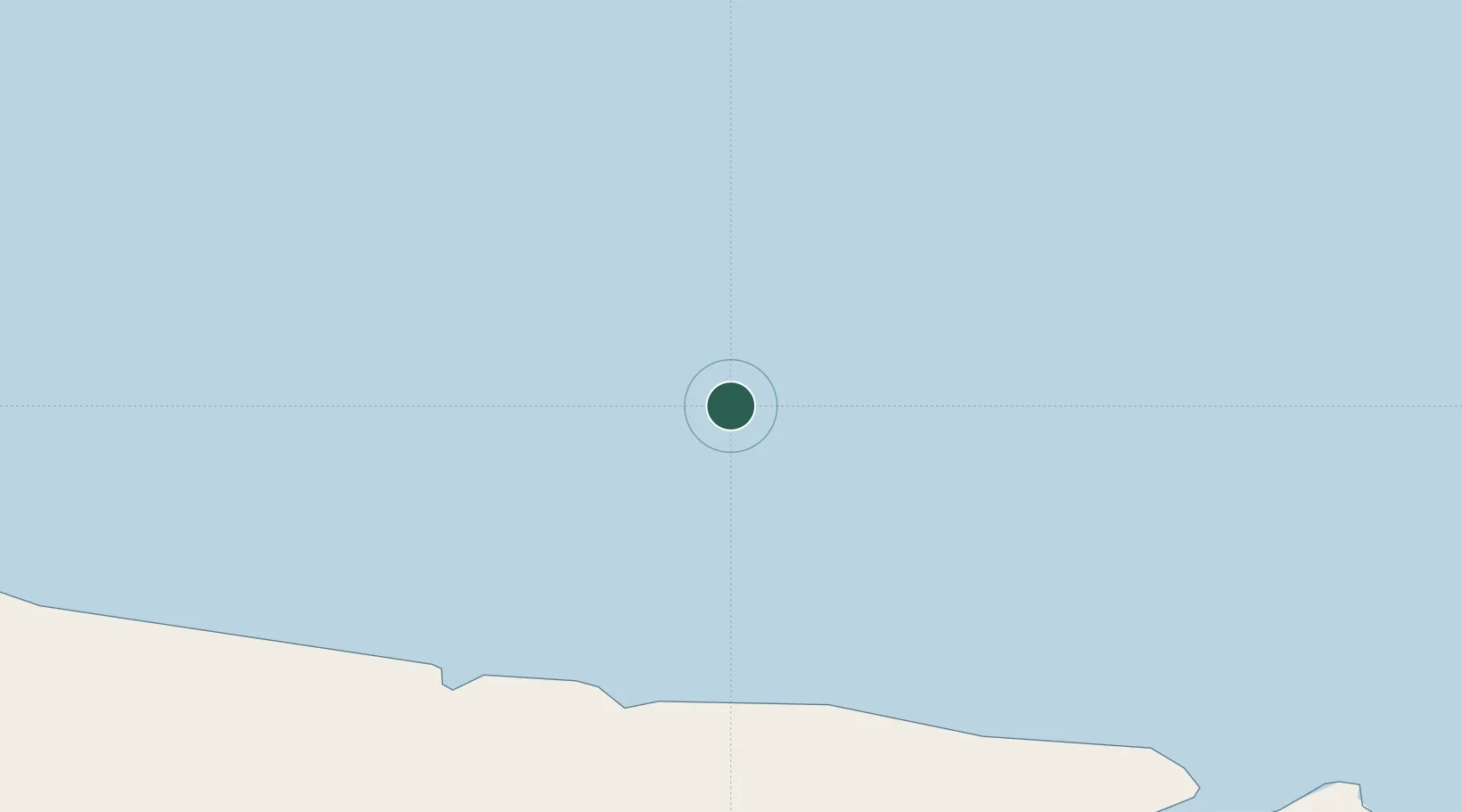
Location
Nearby Logistics Neighbours
Cities
- 1Casey Station169 km
- 2Mirny628 km
- 3Muara Teweh1073 km
- 4Davis Station1270 km
- 5Zhongshan1335 km
Airports
- 1Concordia Skyway1187 km
- 2Vostok Skiway1403 km
- 3Albany Airport3511 km
- 4Busselton Margaret River Regional Airport3621 km
- 5Esperance Airport3712 km
Trade Zones
- 1Latrobe Valley Economic Growth Zone3962 km
- 2Mon Tresor Free Zone6152 km
- 3Free Zone Mauritius6186 km
- 4The Mauritius Free Port6189 km
- 5Riche Terre Industrial Zone6190 km
DatabookThe Record of Consolidated Knowledge
Indonesia beyond logistics?