Free Trade Zone · Mauritius

Mon Tresor Free Zone Active
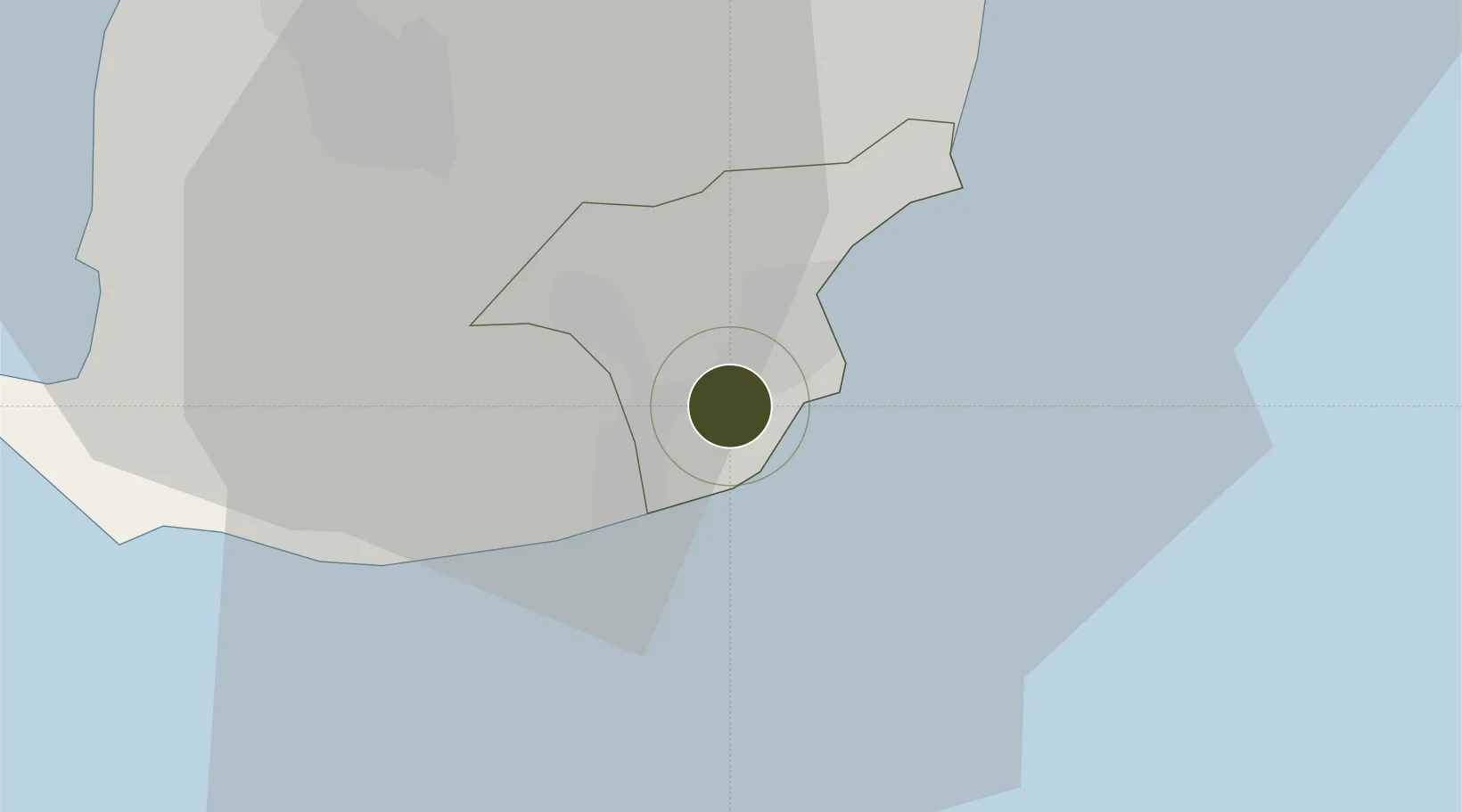
-20.4406°, 57.6706°
24 ha
Zone area
36.9 km
Nearest port
1.8 km
Nearest airport

Gateway access

Nearest neighbours — logibook spatial index (haversine) over the source coordinates

Zone profile

Zone type
Free Trade Zone
Open Zone Map
Region
Grand Port
Open Zone Map
Status
Active
Open Zone Map
Management
Public
Open Zone Map
Operator
Ominicane Ltd
Open Zone Map
Legal framework
Act 43/2004 on Freeports
Open Zone Map

Location

Location of ozm-2840
Natural Earth 10m (public domain) · Grand Port · ozm-2840 · -20.44, 57.67GoogleOSMYandex

Nearby Logistics Neighbours

Ports
  1. 1Port Louis37 km
  2. 2Saint-Denis236 km
  3. 3Saint-Pierre250 km
  4. 4Port Mathurin606 km
  5. 5Toamasina902 km
Nearest neighbours — logibook spatial index (haversine) over the source coordinates
Airports
  1. 1Sir Seewoosagur Ramgoolam International Airport2 km
  2. 2Roland Garros Airport229 km
  3. 3Saint-Pierre Pierrefonds Airport253 km
  4. 4Sir Charles Gaetan Duval Airport599 km
  5. 5Toamasina Ambalamanasy Airport906 km
Nearest neighbours — logibook spatial index (haversine) over the source coordinates
Cities
  1. 1Phoenix25 km
  2. 2Ebene26 km
  3. 3Tamarin35 km
  4. 4Port Louis37 km
  5. 5Albion39 km
Nearest neighbours — logibook spatial index (haversine) over the source coordinates
Trade Zones
  1. 1Free Zone Mauritius35 km
  2. 2The Mauritius Free Port38 km
  3. 3Riche Terre Industrial Zone38 km
  4. 4Mauritius JinFei Economic and Trade Cooperation Zone38 km
  5. 5Toamasina Autonomous Port902 km
Nearest neighbours — logibook spatial index (haversine) over the source coordinates
DatabookThe Record of Consolidated Knowledge
Mauritius beyond logistics?
Browse databook

All Sources

Trade ZonesOpen Zone Map
CC BY
Portsthe NGA World Port Index
Public domain (US gov)
AirportsOurAirports
Public domain
LocationsUN/LOCODE
UN/LOCODE — free
← Mauritius trade zones