Free Trade Zone · Mauritius

Free Zone Mauritius Active
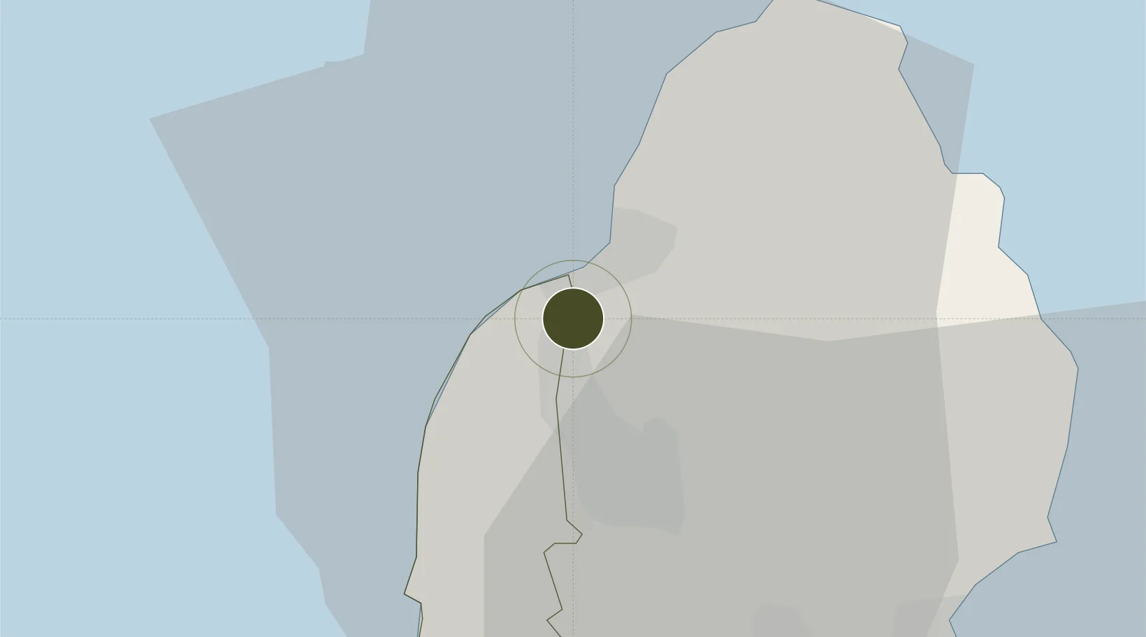
-20.1906°, 57.4671°
50 ha
Zone area
5.7 km
Nearest port
34.9 km
Nearest airport

Gateway access

Nearest neighbours — logibook spatial index (haversine) over the source coordinates

Zone profile

Zone type
Free Trade Zone
Open Zone Map
Region
Rivière Noire
Open Zone Map
Status
Active
Open Zone Map
Management
Public-Private Partnership
Open Zone Map
Operator
Amicorp (Mauritius) Limited
Open Zone Map
Legal framework
Act 43/2004 on Freeports
Open Zone Map

Location

Location of ozm-2841
Natural Earth 10m (public domain) · Rivière Noire · ozm-2841 · -20.19, 57.47GoogleOSMYandex

Nearby Logistics Neighbours

Ports
  1. 1Port Louis6 km
  2. 2Saint-Denis223 km
  3. 3Saint-Pierre245 km
  4. 4Port Mathurin624 km
  5. 5Toamasina875 km
Nearest neighbours — logibook spatial index (haversine) over the source coordinates
Airports
  1. 1Sir Seewoosagur Ramgoolam International Airport35 km
  2. 2Roland Garros Airport217 km
  3. 3Saint-Pierre Pierrefonds Airport247 km
  4. 4Sir Charles Gaetan Duval Airport618 km
  5. 5Sainte Marie Airport876 km
Nearest neighbours — logibook spatial index (haversine) over the source coordinates
Cities
  1. 1Port Louis6 km
  2. 2Albion7 km
  3. 3Phoenix11 km
  4. 4Tamarin18 km
  5. 5Fond du Sac20 km
Nearest neighbours — logibook spatial index (haversine) over the source coordinates
Trade Zones
  1. 1The Mauritius Free Port6 km
  2. 2Riche Terre Industrial Zone8 km
  3. 3Mauritius JinFei Economic and Trade Cooperation Zone9 km
  4. 4Mon Tresor Free Zone35 km
  5. 5Toamasina Autonomous Port874 km
Nearest neighbours — logibook spatial index (haversine) over the source coordinates
DatabookThe Record of Consolidated Knowledge
Mauritius beyond logistics?
Browse databook

All Sources

Trade ZonesOpen Zone Map
CC BY
Portsthe NGA World Port Index
Public domain (US gov)
AirportsOurAirports
Public domain
LocationsUN/LOCODE
UN/LOCODE — free
← Mauritius trade zones