UN/LOCODE hub · Antarctica
AQCAS
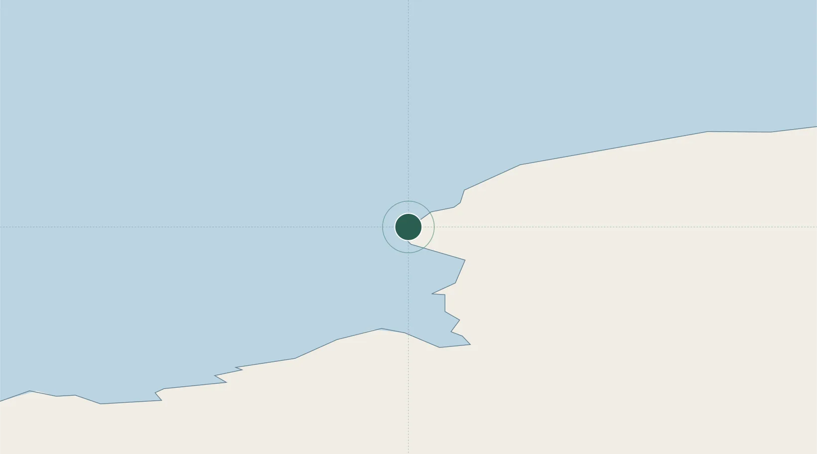
Casey Station
-66.2833°, 110.5167°
99
Population
1
Transport functions
Transport Functions
Port
Hub Profile
Place type
Locality
Population
99
Time zone
Antarctica/Casey
Location
Nearby Logistics Neighbours
Cities
- 1Sukabumi169 km
- 2Mirny777 km
- 3Muara Teweh1061 km
- 4Dumont d'Urville Station1298 km
- 5Tongdaemun-Gu3363 km
Ports
- 1Albany3508 km
- 2Burnie3554 km
- 3Port Latta3555 km
- 4Stanley3558 km
- 5Portland3677 km
Airports
- 1Concordia Skyway1083 km
- 2Vostok Skiway1360 km
- 3Albany Airport3517 km
- 4King Island Airport3597 km
- 5Portland Airport3674 km
Trade Zones
- 1Latrobe Valley Economic Growth Zone3853 km
- 2Mon Tresor Free Zone6317 km
- 3Free Zone Mauritius6351 km
- 4The Mauritius Free Port6355 km
- 5Riche Terre Industrial Zone6355 km
DatabookThe Record of Consolidated Knowledge
Antarctica beyond logistics?