Transport Functions
Port
Hub Profile
Place type
Provincial seat
Region
Riau Islands
Time zone
Asia/Jakarta
Elevation
10 m
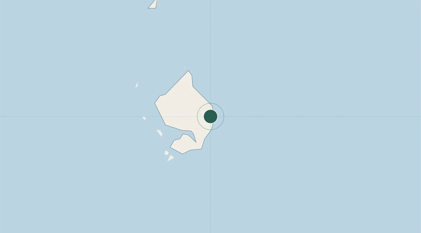
Location
Nearby Logistics Neighbours
Cities
- 1Udang Natuna Terminal213 km
- 2Belanak Terminal240 km
- 3Terempa253 km
- 4Senari - Sarawak344 km
- 5Kuching, Sarawak344 km
Ports
- 1Udang Oilfield211 km
- 2Belanak Field Terminal238 km
- 3Kuching341 km
- 4Belida Marine Terminal361 km
- 5Tg. Mani384 km
Airports
- 1Ranai Airport1 km
- 2Kuching International Airport348 km
- 3Mukah Airport422 km
- 4Sibu Airport440 km
- 5Supadio International Airport467 km
Trade Zones
- 1Kawasan Industri Suge145 km
- 2Sarawak Corridor Of Renewable Energy344 km
- 3Sama Jaya Free Industrial Zone348 km
- 4KEK Galang Batang532 km
- 5Bintan Industrial Estate561 km
DatabookThe Record of Consolidated Knowledge
Indonesia beyond logistics?