Medium airport · Indonesia
Ranai AirportWION
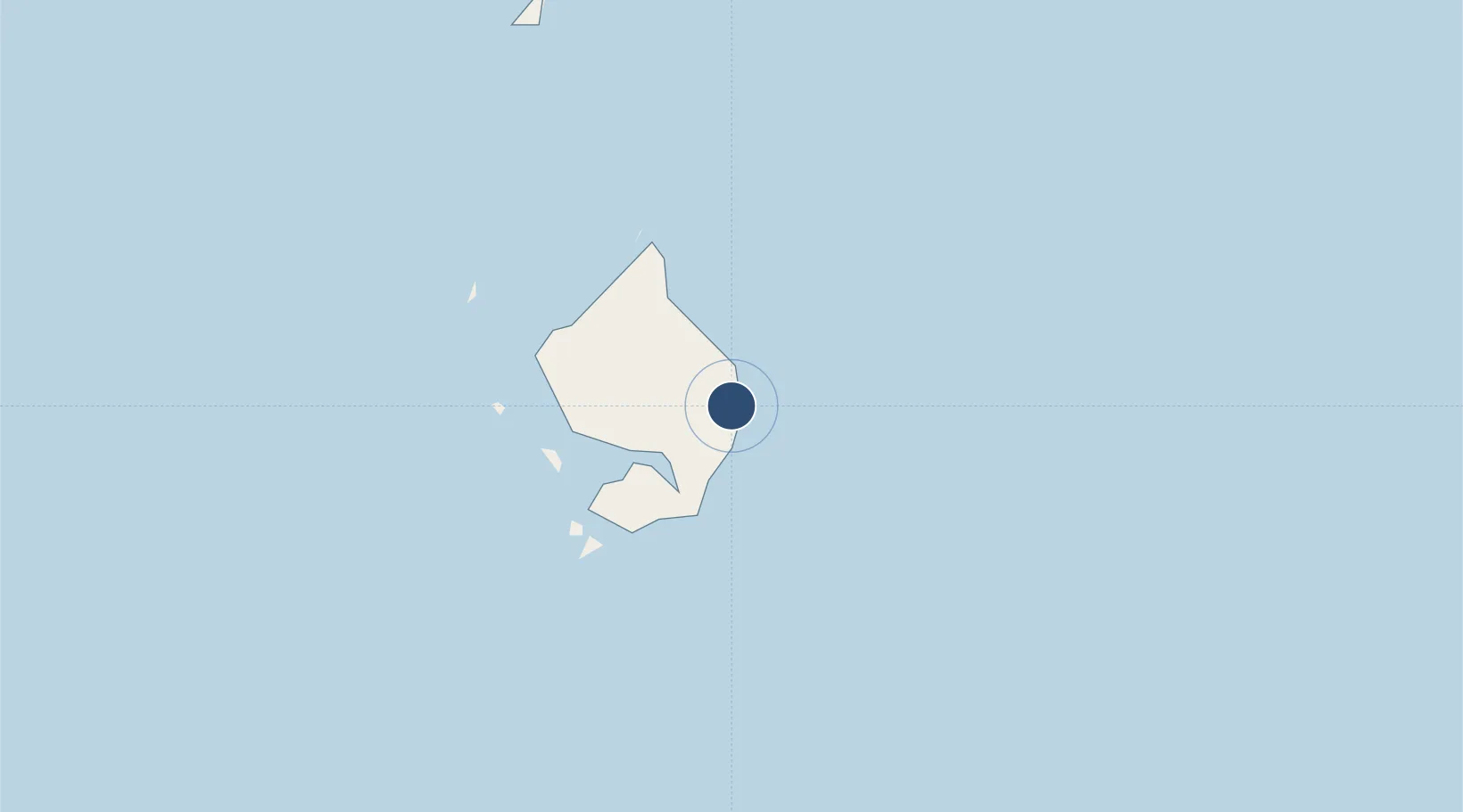
3.9087°, 108.3880°
8,410 ft
Longest runway
1
Runways
7 ft
Elevation
Runway & Layout

Radio Frequencies
INFO
112.1 MHz
Runways · 1
| Runway | Dimensions | Surface | True heading | Lit |
|---|---|---|---|---|
| 18/36 | 8,410 × 105ft | Asphalt | 182° | ✓ |
Airport Specifications
IATA code
NTX
ICAO code
WIDO
Airport class
Medium airport
Scheduled service
Yes
Runway surface
Asphalt
Served city
Ranai-Natuna Besar Island
Location
Nearby Logistics Neighbours
Airports
- 1Kuching International Airport347 km
- 2Mukah Airport422 km
- 3Sibu Airport439 km
- 4Supadio International Airport466 km
- 5Tioman Airport485 km
Cities
- 1Ranai1 km
- 2Udang Natuna Terminal214 km
- 3Belanak Terminal241 km
- 4Terempa253 km
- 5Senari - Sarawak343 km
Ports
- 1Udang Oilfield212 km
- 2Belanak Field Terminal239 km
- 3Kuching340 km
- 4Belida Marine Terminal362 km
- 5Tg. Mani383 km
Trade Zones
- 1Kawasan Industri Suge145 km
- 2Sarawak Corridor Of Renewable Energy343 km
- 3Sama Jaya Free Industrial Zone347 km
- 4KEK Galang Batang532 km
- 5Bintan Industrial Estate561 km
DatabookThe Record of Consolidated Knowledge
Indonesia beyond logistics?