UN/LOCODE hub · Indonesia
IDTER

Terempa

3.2167°, 106.2167°
1
Transport functions

Transport Functions

Port
UN/LOCODE

Hub Profile

Region
RI
GeoNames

Location

Location of IDTER
Natural Earth 10m (public domain) · RI · IDTER · 3.22, 106.22GoogleOSMYandex

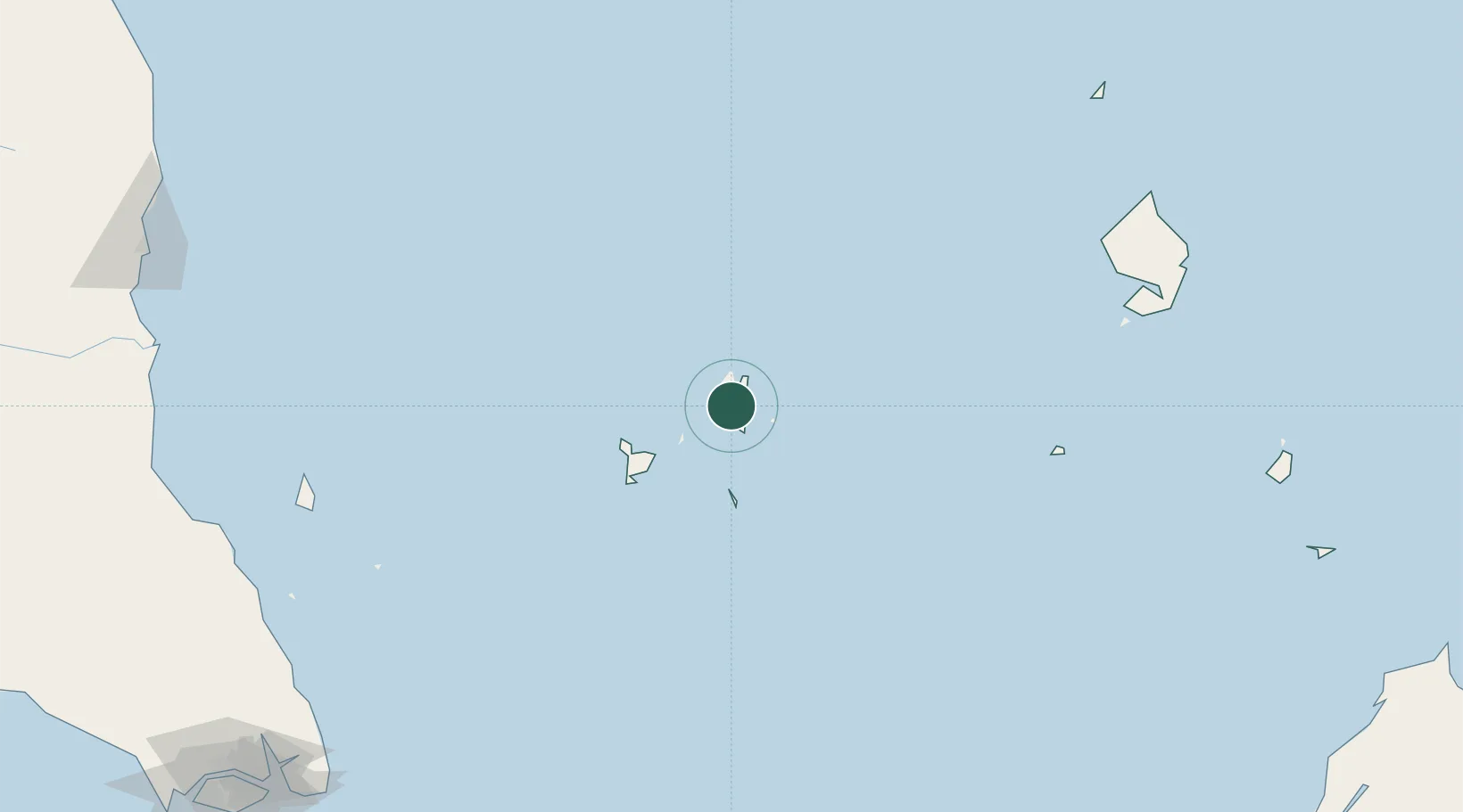
Nearby Logistics Neighbours

Cities
  1. 1Udang Natuna Terminal93 km
  2. 2Belanak Terminal106 km
  3. 3Belida Terminal158 km
  4. 4Kakap Natuna Terminal202 km
  5. 5Anoa Natuna Pt.234 km
Nearest neighbours — logibook spatial index (haversine) over the source coordinates
Ports
  1. 1Udang Oilfield96 km
  2. 2Belanak Field Terminal104 km
  3. 3Belida Marine Terminal158 km
  4. 4Tapis Marine Terminal A288 km
  5. 5Kijang319 km
Nearest neighbours — logibook spatial index (haversine) over the source coordinates
Airports
  1. 1Tioman Airport233 km
  2. 2Ranai Airport253 km
  3. 3Raja Haji Fisabilillah International Airport316 km
  4. 4Changi Air Base (East)322 km
  5. 5Singapore Changi Airport323 km
Nearest neighbours — logibook spatial index (haversine) over the source coordinates
Trade Zones
  1. 1Kawasan Industri Suge154 km
  2. 2KEK Galang Batang309 km
  3. 3Airport Logistics Park Of Singapore320 km
  4. 4Bintan Industrial Estate328 km
  5. 5Kabil Integrated Industrial Estate (KIIE)329 km
Nearest neighbours — logibook spatial index (haversine) over the source coordinates
DatabookThe Record of Consolidated Knowledge
Indonesia beyond logistics?
Browse databook

All Sources

LocationsUN/LOCODE
UN/LOCODE — free
Portsthe NGA World Port Index
Public domain (US gov)
AirportsOurAirports
Public domain
Trade Zonesthe World Bank SEZ database
CC BY 4.0
Trade ZonesOpen Zone Map
CC BY
← Indonesia locations