Transport Functions
Port
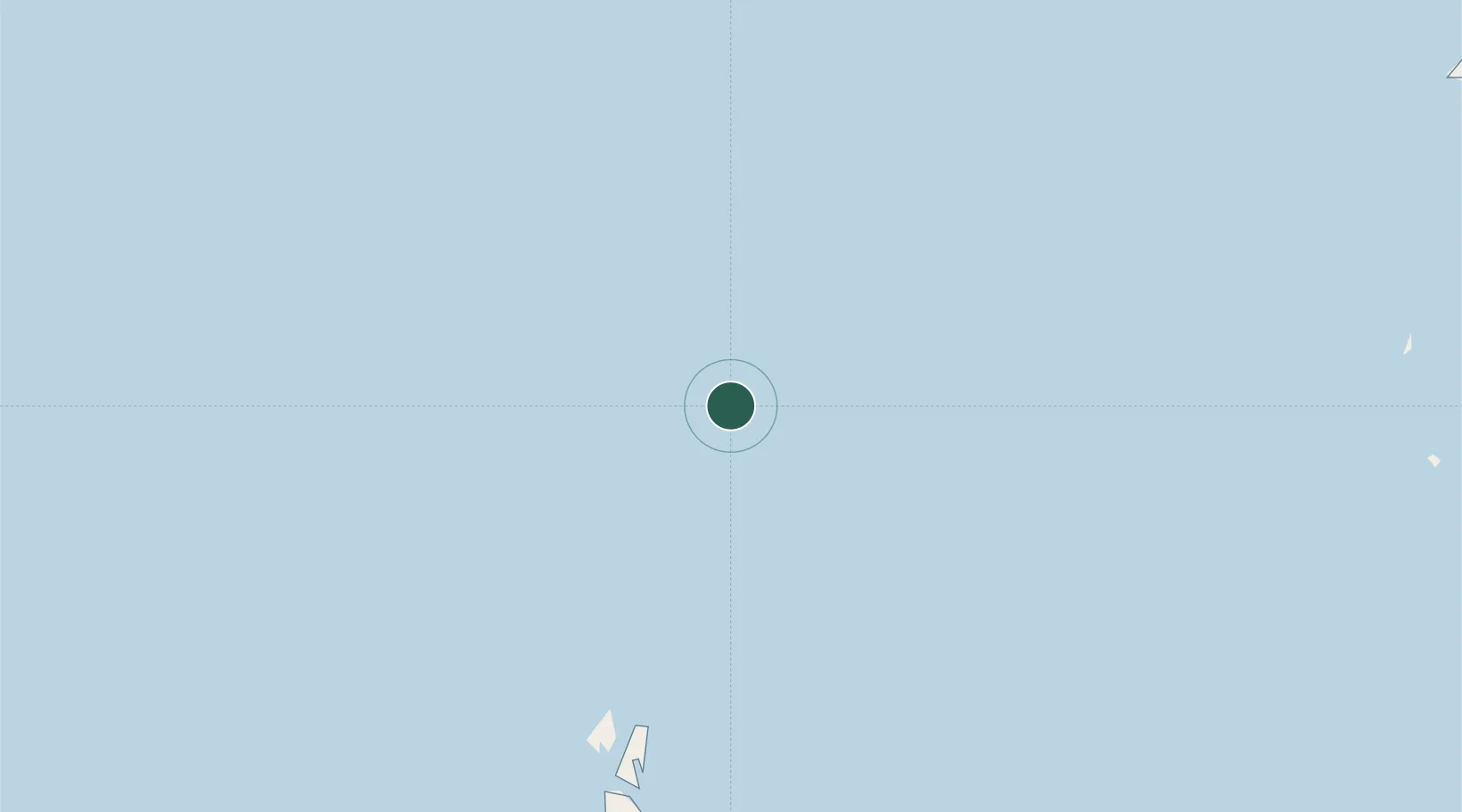
Location
Nearby Logistics Neighbours
Cities
- 1Belanak Terminal31 km
- 2Terempa93 km
- 3Kakap Natuna Terminal125 km
- 4Belida Terminal149 km
- 5Anoa Natuna Pt.166 km
Ports
- 1Belanak Field Terminal28 km
- 2Belida Marine Terminal149 km
- 3Tapis Marine Terminal A232 km
- 4Kemaman Harbor334 km
- 5Kuantan New Port337 km
Airports
- 1Ranai Airport214 km
- 2Tioman Airport289 km
- 3Kerteh Airport342 km
- 4Kuantan Airport362 km
- 5Sultan Mahmud Airport403 km
Trade Zones
- 1Kawasan Industri Suge175 km
- 2Kuantan Port Free Zone, Pahang338 km
- 3Iskandar Halal Park396 km
- 4Tanjung Langsat Commercial Free Zone397 km
- 5KEK Galang Batang399 km
DatabookThe Record of Consolidated Knowledge
Indonesia beyond logistics?