Transport Functions
Port
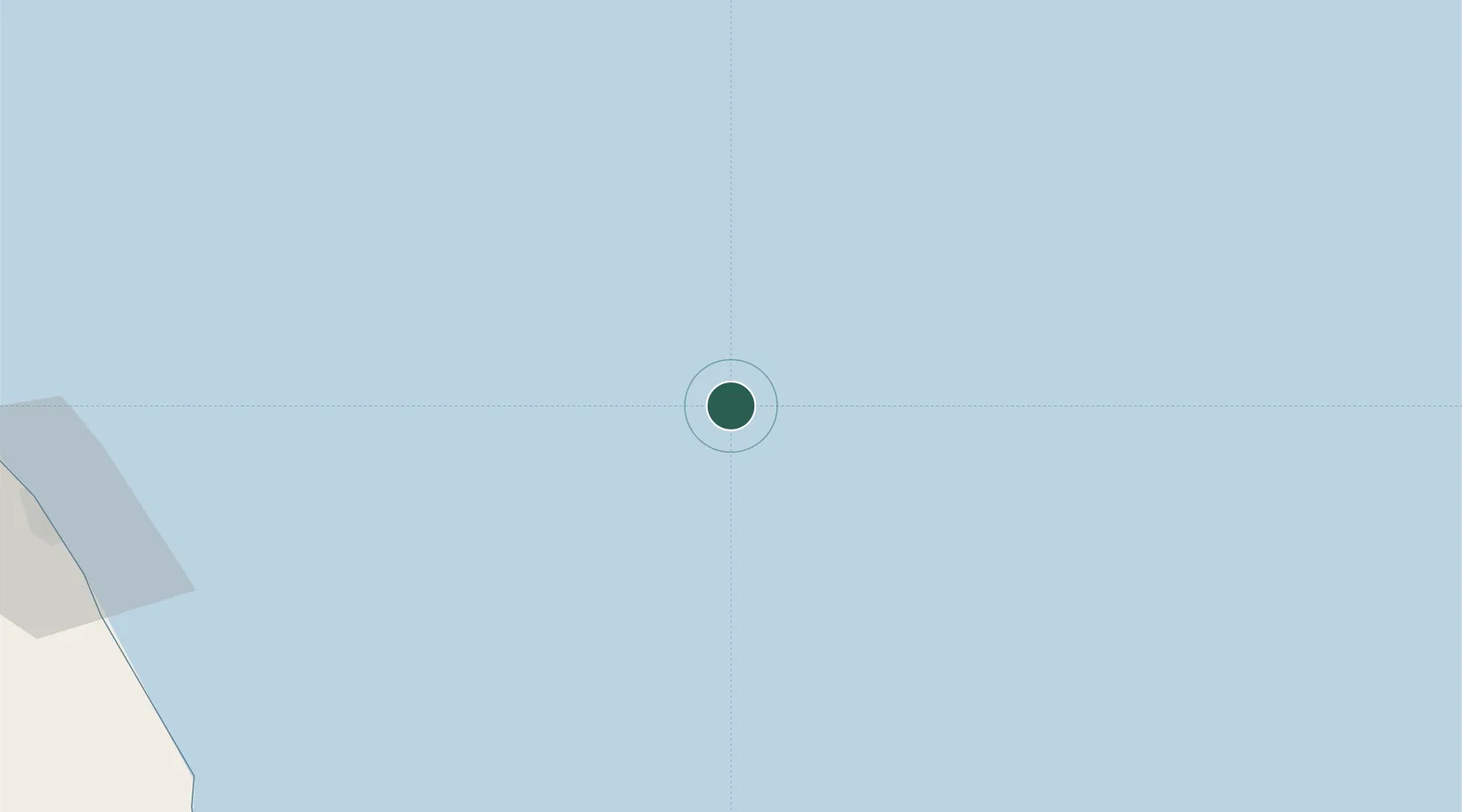
Location
Nearby Logistics Neighbours
Cities
- 1Kijang13 km
- 2Angsi56 km
- 3Penara Marine Terminal80 km
- 4Abu102 km
- 5Anoa Natuna Pt.122 km
Ports
- 1Tapis Marine Terminal A52 km
- 2Kuala Trengganu159 km
- 3Belida Marine Terminal172 km
- 4Kemaman Harbor189 km
- 5Kuantan New Port217 km
Airports
- 1Sultan Mahmud Airport162 km
- 2Kerteh Airport169 km
- 3Kuantan Airport249 km
- 4Sultan Ismail Petra Airport258 km
- 5Tioman Airport309 km
Trade Zones
DatabookThe Record of Consolidated Knowledge
Malaysia beyond logistics?