Transport Functions
Port
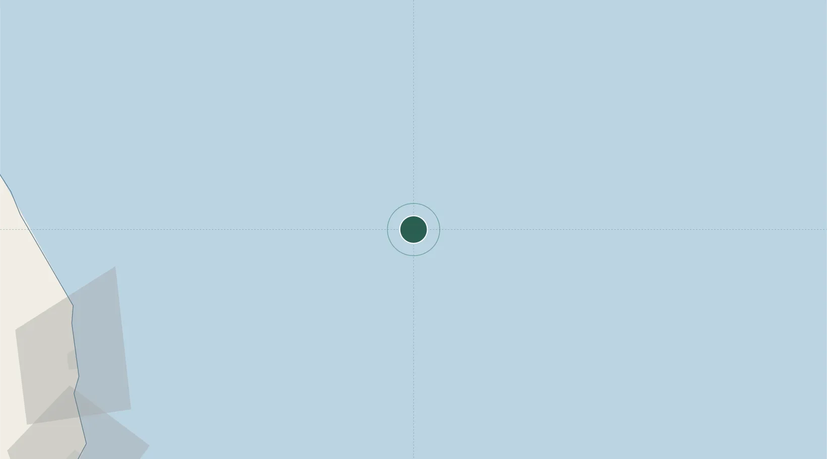
Location
Nearby Logistics Neighbours
Cities
- 1Cendor56 km
- 2Kijang65 km
- 3Anoa Natuna Pt.103 km
- 4Belida Terminal117 km
- 5Penara Marine Terminal121 km
Ports
- 1Tapis Marine Terminal A61 km
- 2Belida Marine Terminal117 km
- 3Kemaman Harbor164 km
- 4Kuala Trengganu174 km
- 5Kuantan New Port186 km
Airports
- 1Kerteh Airport152 km
- 2Sultan Mahmud Airport178 km
- 3Kuantan Airport219 km
- 4Tioman Airport259 km
- 5Sultan Ismail Petra Airport291 km
Trade Zones
DatabookThe Record of Consolidated Knowledge
Malaysia beyond logistics?