Industrial Estate · Indonesia

Karawang International Industrial City
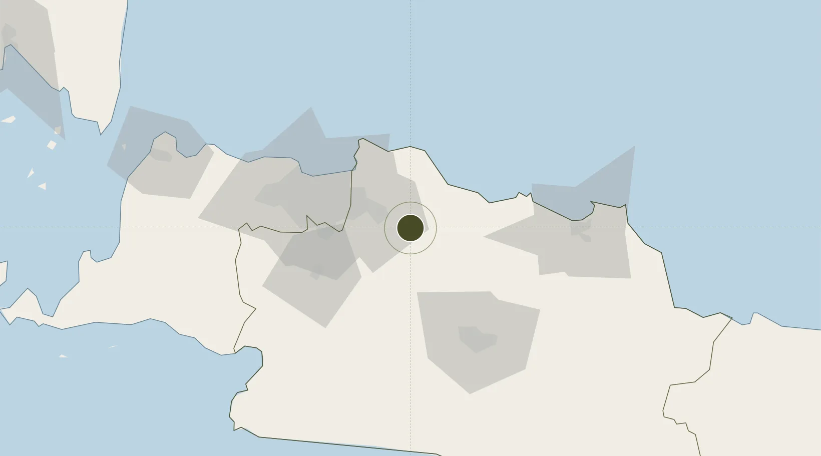
-6.3635°, 107.2824°
53.0 km
Nearest port
44.5 km
Nearest airport

Gateway access

Nearest neighbours — logibook spatial index (haversine) over the source coordinates

Zone profile

Zone type
Industrial Estate
the World Bank SEZ database
Region
Jawa Barat
the World Bank SEZ database
Established
2013
the World Bank SEZ database
Management
Private management
the World Bank SEZ database
Operator
ITOCHU Corporation (Japan) and Sinarmas Land
the World Bank SEZ database
Regulatory authority
Industrial Estate Authority of Indonesia*
the World Bank SEZ database
Legal framework
Government Regulation No 142/2015
the World Bank SEZ database

Location

Location of IDN25
Natural Earth 10m (public domain) · Jawa Barat · IDN25 · -6.36, 107.28GoogleOSMYandex

Fiscal & incentives

Corporate tax
25%
the World Bank SEZ database
Tax relief
Under review
the World Bank SEZ database
Relief duration
Under review
the World Bank SEZ database
VAT
Under review
the World Bank SEZ database
Import duty (inputs)
Under review
the World Bank SEZ database
Import duty (capex)
Under review
the World Bank SEZ database
Profit repatriation
Under review
the World Bank SEZ database
Capital gains
Under review
the World Bank SEZ database
Withholding tax
Under review
the World Bank SEZ database
Min. investment
None
the World Bank SEZ database
Min. export
0%
the World Bank SEZ database
Employment incentive
Under review
the World Bank SEZ database
Developer incentive
No established framework
the World Bank SEZ database

Nearby Logistics Neighbours

Ports
  1. 1Jakarta53 km
  2. 2Ardjuna Oil Field72 km
  3. 3Cirebon147 km
  4. 4Tanjung Sekong150 km
  5. 5Merak Mas Terminal150 km
Nearest neighbours — logibook spatial index (haversine) over the source coordinates
Airports
  1. 1Halim Perdanakusuma International Airport45 km
  2. 2Husein Sastranegara International Airport68 km
  3. 3Soekarno-Hatta International Airport74 km
  4. 4Kertajati International Airport103 km
  5. 5Nusawiru Airport201 km
Nearest neighbours — logibook spatial index (haversine) over the source coordinates
Cities
  1. 1Jababeka18 km
  2. 2Jakarta, Java34 km
  3. 3Jakarta Utara47 km
  4. 4New Priok Port51 km
  5. 5Jakarta Pusat54 km
Nearest neighbours — logibook spatial index (haversine) over the source coordinates
Trade Zones
  1. 1Mitrakarawang Industrial Estate4 km
  2. 2Greenland International Industrial City11 km
  3. 3Indonesia-China Industrial Estate13 km
  4. 4Lippo Cikarang Industrial Estate17 km
  5. 5Bekasi International Industrial Estate17 km
Nearest neighbours — logibook spatial index (haversine) over the source coordinates
DatabookThe Record of Consolidated Knowledge
Indonesia beyond logistics?
Browse databook

All Sources

Trade Zonesthe World Bank SEZ database
CC BY 4.0
Portsthe NGA World Port Index
Public domain (US gov)
AirportsOurAirports
Public domain
LocationsUN/LOCODE
UN/LOCODE — free
← Indonesia trade zones