Transport Functions
Multimodal
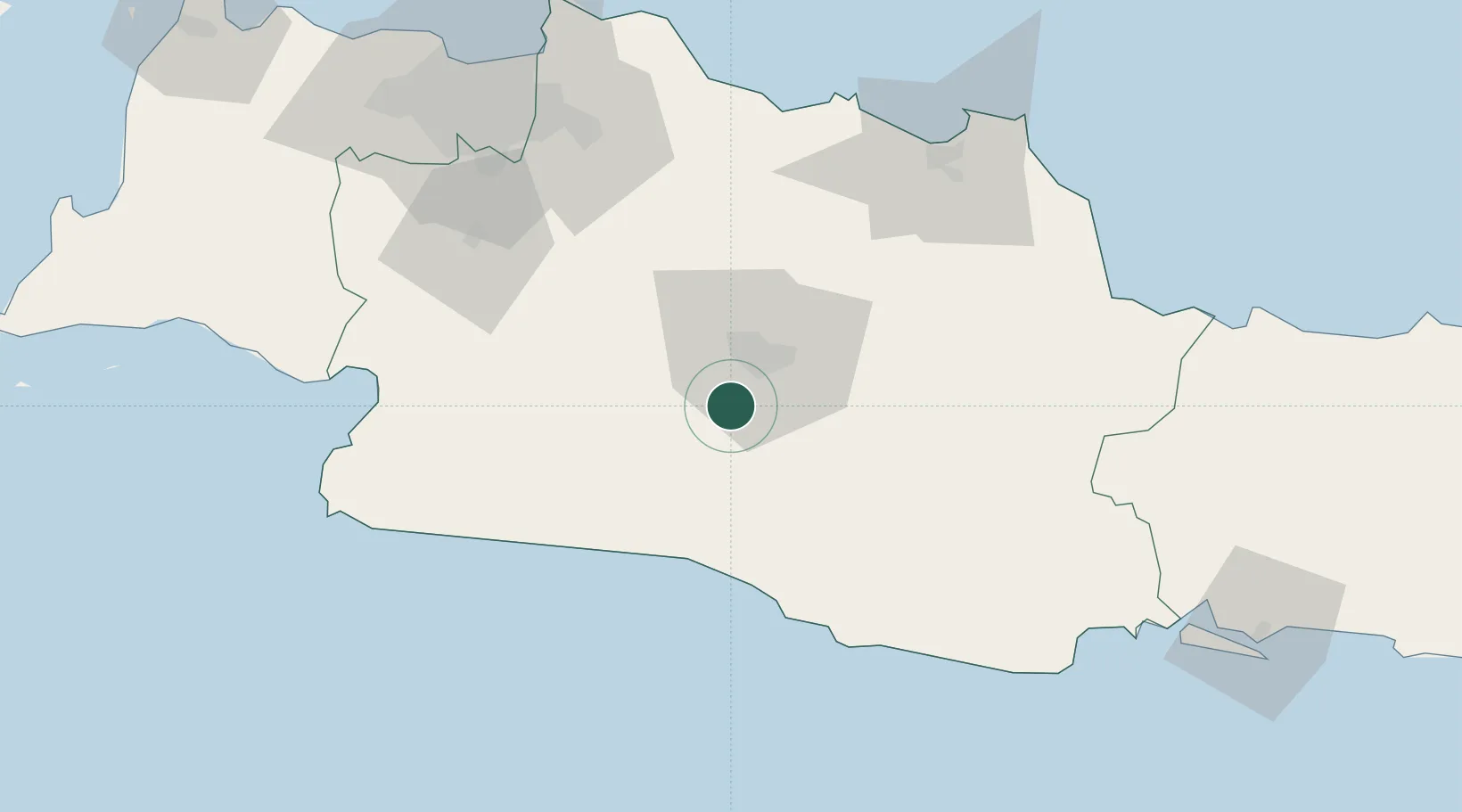
Hub Profile
Place type
Populated place
Region
West Java
Time zone
Asia/Jakarta
Elevation
742 m
Location
Nearby Logistics Neighbours
Cities
- 1Jababeka98 km
- 2Jakarta, Java114 km
- 3Pasar Rebo115 km
- 4Cirebon (Tjeribon)120 km
- 5Balongan122 km
Ports
- 1Cirebon121 km
- 2Jakarta129 km
- 3Ardjuna Oil Field133 km
- 4Cilacap178 km
- 5Tegal178 km
Airports
Trade Zones
DatabookThe Record of Consolidated Knowledge
Indonesia beyond logistics?