UN/LOCODE hub · Indonesia
IDJBK

Jababeka

-6.2739°, 107.1498°
1
Transport functions

Transport Functions

Port
UN/LOCODE

Hub Profile

Logistics facilities
2
UN/LOCODE

Location

Location of IDJBK
Natural Earth 10m (public domain) · Jawa Barat · IDJBK · -6.27, 107.15GoogleOSMYandex

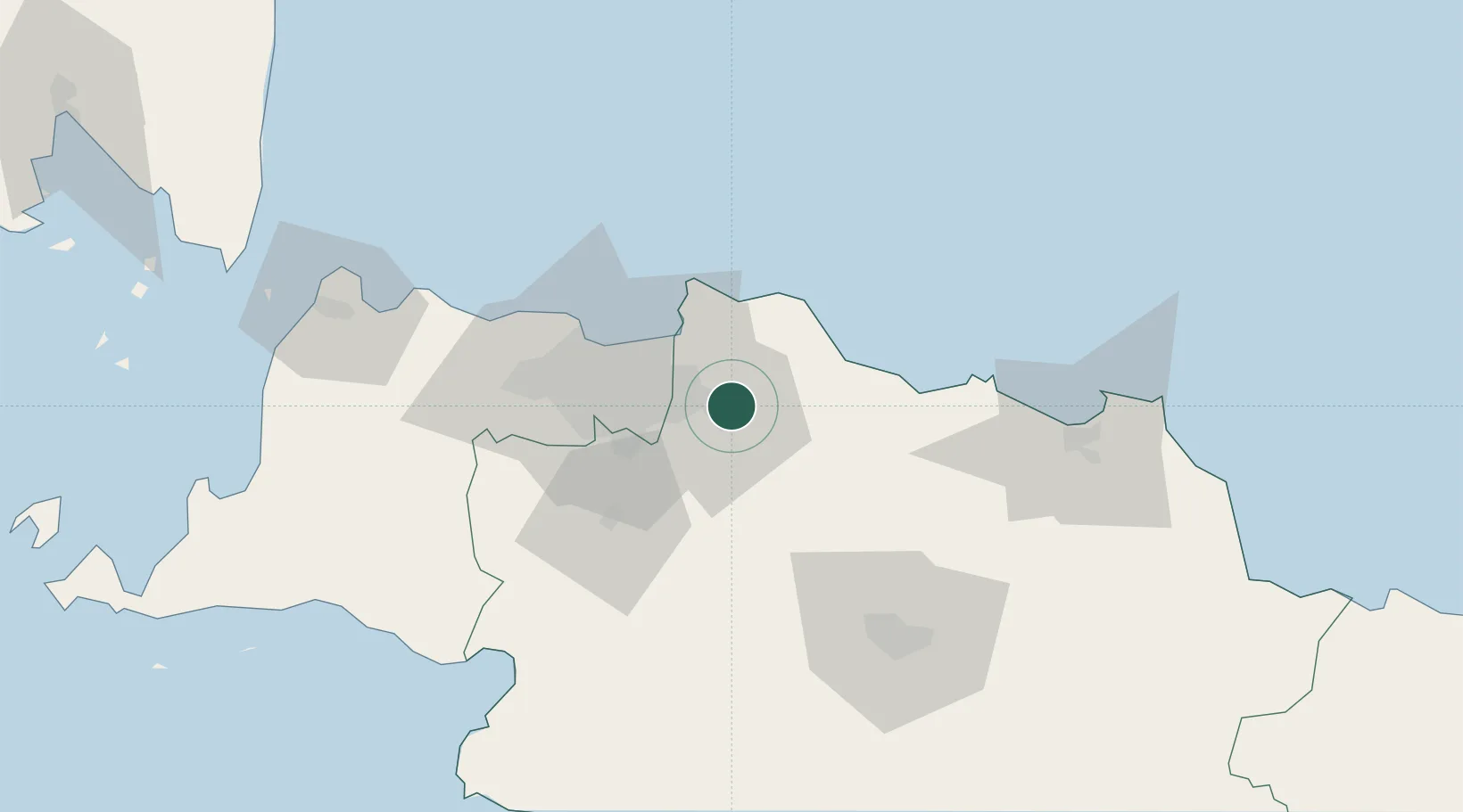
Nearby Logistics Neighbours

Cities
  1. 1Jakarta, Java17 km
  2. 2Jakarta Utara29 km
  3. 3New Priok Port33 km
  4. 4Jakarta Pusat36 km
  5. 5Menteng36 km
Nearest neighbours — logibook spatial index (haversine) over the source coordinates
Ports
  1. 1Jakarta35 km
  2. 2Ardjuna Oil Field76 km
  3. 3Tanjung Sekong133 km
  4. 4Merak Mas Terminal133 km
  5. 5Banten134 km
Nearest neighbours — logibook spatial index (haversine) over the source coordinates
Airports
  1. 1Halim Perdanakusuma International Airport29 km
  2. 2Soekarno-Hatta International Airport57 km
  3. 3Husein Sastranegara International Airport84 km
  4. 4Kertajati International Airport120 km
  5. 5Nusawiru Airport218 km
Nearest neighbours — logibook spatial index (haversine) over the source coordinates
Trade Zones
  1. 1Jababeka Industrial Estate-Cikarang2 km
  2. 2MM2100 Industrial Town7 km
  3. 3Bekasi International Industrial Estate7 km
  4. 4Lippo Cikarang Industrial Estate8 km
  5. 5Indonesia-China Industrial Estate13 km
Nearest neighbours — logibook spatial index (haversine) over the source coordinates
DatabookThe Record of Consolidated Knowledge
Indonesia beyond logistics?
Browse databook

All Sources

LocationsUN/LOCODE
UN/LOCODE — free
Portsthe NGA World Port Index
Public domain (US gov)
AirportsOurAirports
Public domain
Trade Zonesthe World Bank SEZ database
CC BY 4.0
Trade ZonesOpen Zone Map
CC BY
← Indonesia locations