Transport Functions
Port
Multimodal
Hub Profile
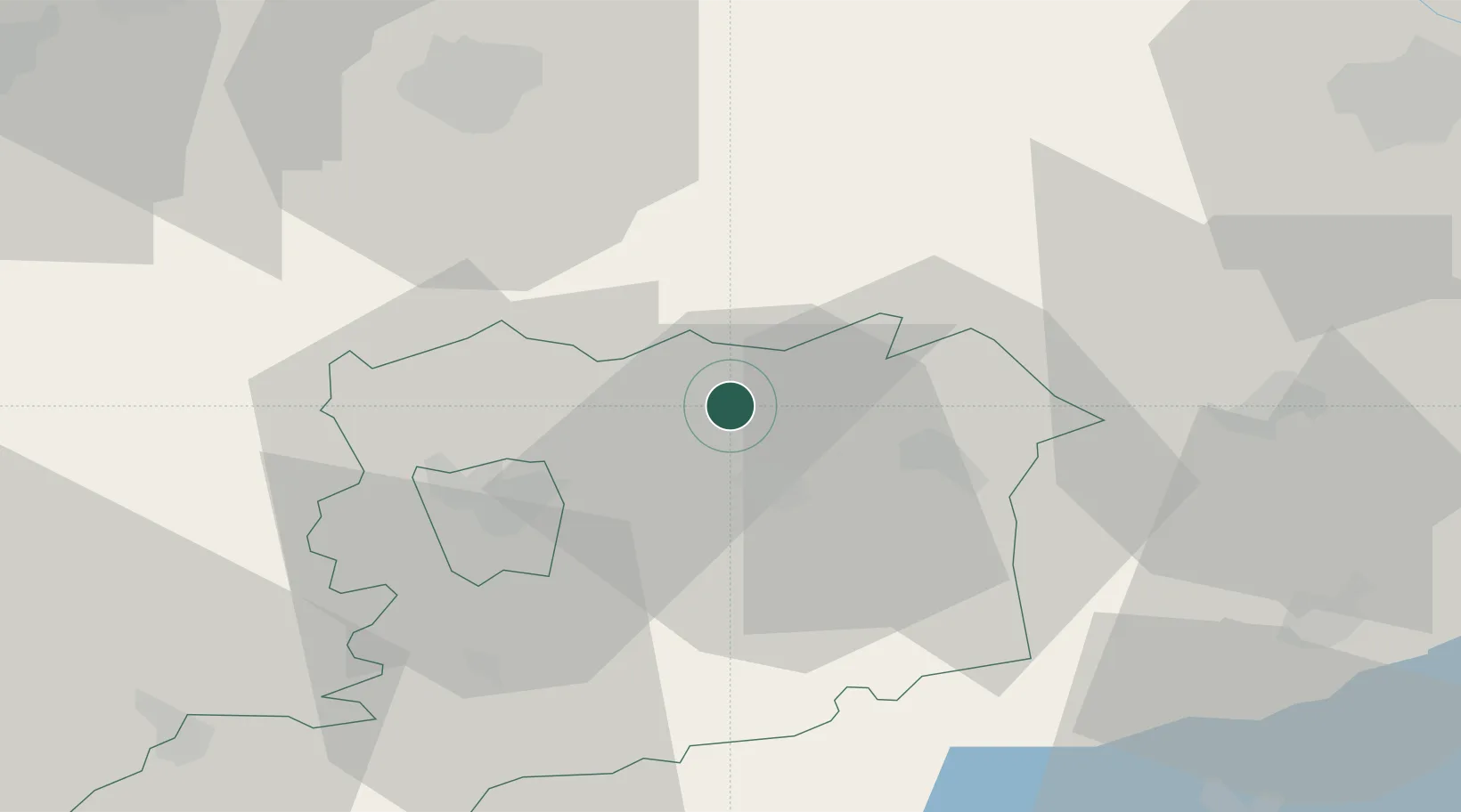
Place type
Populated place
Region
Vas County
Population
737
Time zone
Europe/Budapest
Elevation
154 m
Location
Nearby Logistics Neighbours
Cities
- 1Sárvár12 km
- 2Csepreg14 km
- 3Zsira19 km
- 4Csesztreg20 km
- 5Vasszécseny21 km
Ports
- 1Bakar291 km
- 2Rijeka Luka293 km
- 3Omisalj297 km
- 4Senj304 km
- 5Trieste306 km
Airports
Trade Zones
- 1Sjever Free Zone125 km
- 2Krapina-Zagorje Free Zone154 km
- 3Göd Special Economic Zone175 km
- 4Veselí nad Moravou Industrial Zone182 km
- 5PJ Free Zone Zagreb189 km
DatabookThe Record of Consolidated Knowledge
Hungary beyond logistics?