Transport Functions
Rail
Road
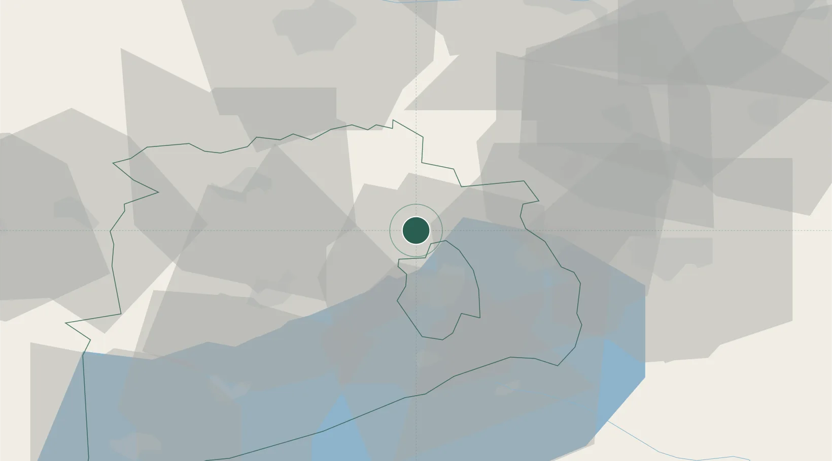
Hub Profile
Place type
Populated place
Region
Veszprém
Population
7,314
Time zone
Europe/Budapest
Elevation
395 m
Location
Nearby Logistics Neighbours
Cities
- 1Dudar9 km
- 2Veszprém19 km
- 3Litér20 km
- 4Várpalota21 km
- 5Balatonfuzfo25 km
Ports
- 1Bakar336 km
- 2Rijeka Luka339 km
- 3Senj340 km
- 4Omisalj341 km
- 5Trieste362 km
Airports
- 1Győr-Pér Airport42 km
- 2Hévíz–Balaton Airport83 km
- 3Tököl Airport85 km
- 4Taszár Air Base95 km
- 5Budapest Liszt Ferenc International Airport107 km
Trade Zones
- 1Göd Special Economic Zone109 km
- 2Sjever Free Zone158 km
- 3Subotica Free Zone188 km
- 4Veselí nad Moravou Industrial Zone193 km
- 5Apatin Free Zone194 km
DatabookThe Record of Consolidated Knowledge
Hungary beyond logistics?