Transport Functions
Rail
Road
Hub Profile
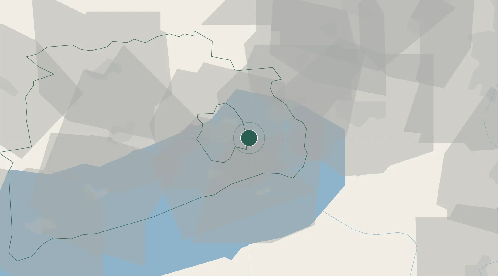
Place type
Populated place
Region
Veszprém
Population
2,010
Time zone
Europe/Budapest
Elevation
209 m
Location
Nearby Logistics Neighbours
Cities
- 1Balatonfuzfo5 km
- 2Veszprém9 km
- 3Alsóörs13 km
- 4Várpalota14 km
- 5Zirc20 km
Ports
- 1Bakar335 km
- 2Senj337 km
- 3Rijeka Luka339 km
- 4Omisalj339 km
- 5Zaliv Rasa380 km
Airports
- 1Győr-Pér Airport61 km
- 2Tököl Airport78 km
- 3Taszár Air Base79 km
- 4Hévíz–Balaton Airport80 km
- 5Kalocsa-Foktő Airfield93 km
Trade Zones
- 1Göd Special Economic Zone108 km
- 2Sjever Free Zone156 km
- 3Subotica Free Zone168 km
- 4Apatin Free Zone174 km
- 5Osijek Free Zone201 km
DatabookThe Record of Consolidated Knowledge
Hungary beyond logistics?