Transport Functions
Multimodal
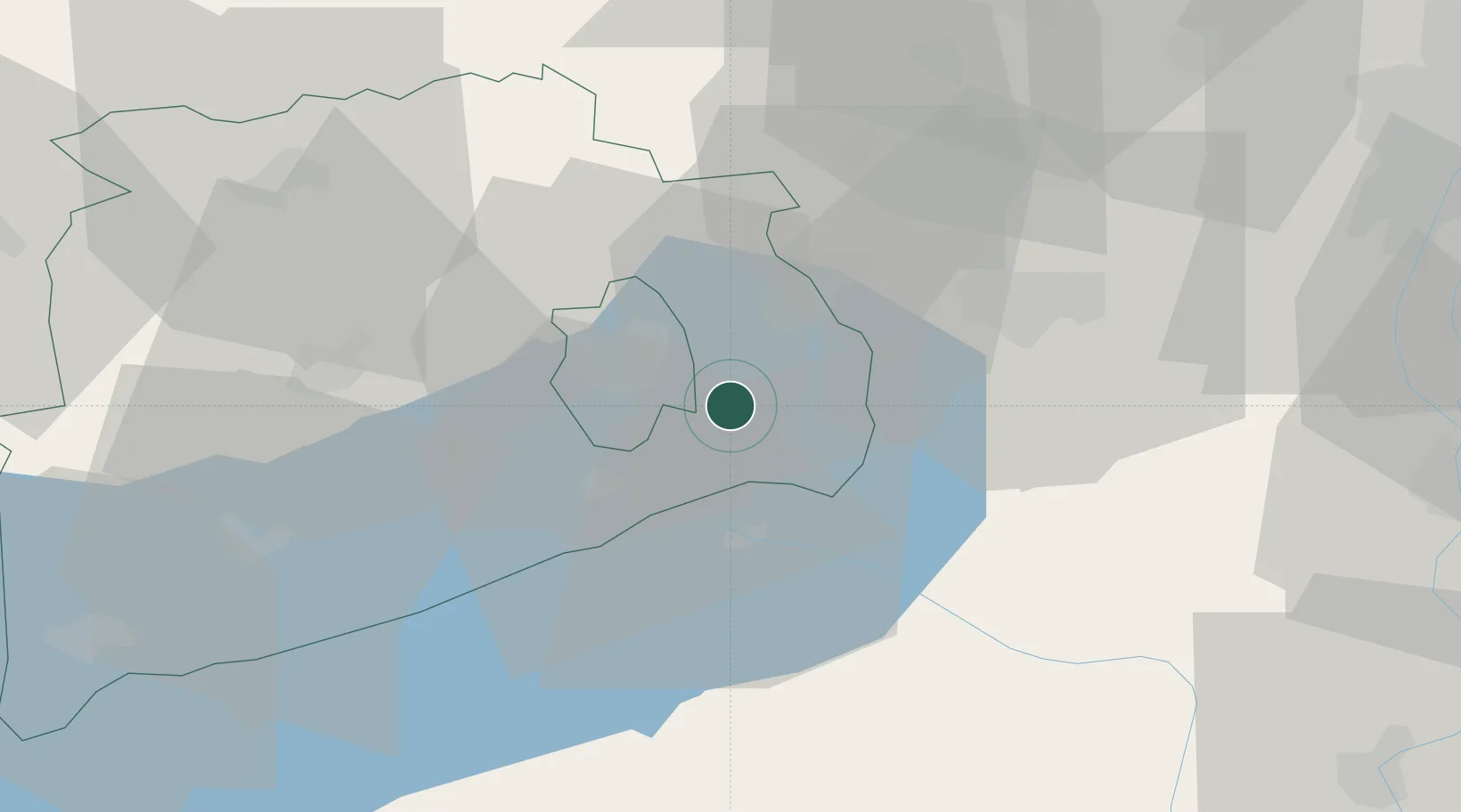
Hub Profile
Place type
Populated place
Region
Veszprém
Time zone
Europe/Budapest
Elevation
167 m
Location
Nearby Logistics Neighbours
Ports
- 1Bakar334 km
- 2Senj336 km
- 3Rijeka Luka339 km
- 4Omisalj339 km
- 5Zaliv Rasa380 km
Airports
- 1Győr-Pér Airport65 km
- 2Taszár Air Base76 km
- 3Tököl Airport77 km
- 4Hévíz–Balaton Airport80 km
- 5Kalocsa-Foktő Airfield89 km
Trade Zones
- 1Göd Special Economic Zone108 km
- 2Sjever Free Zone156 km
- 3Subotica Free Zone164 km
- 4Apatin Free Zone170 km
- 5Osijek Free Zone196 km
DatabookThe Record of Consolidated Knowledge
Hungary beyond logistics?