Transport Functions
Road
Multimodal
Hub Profile
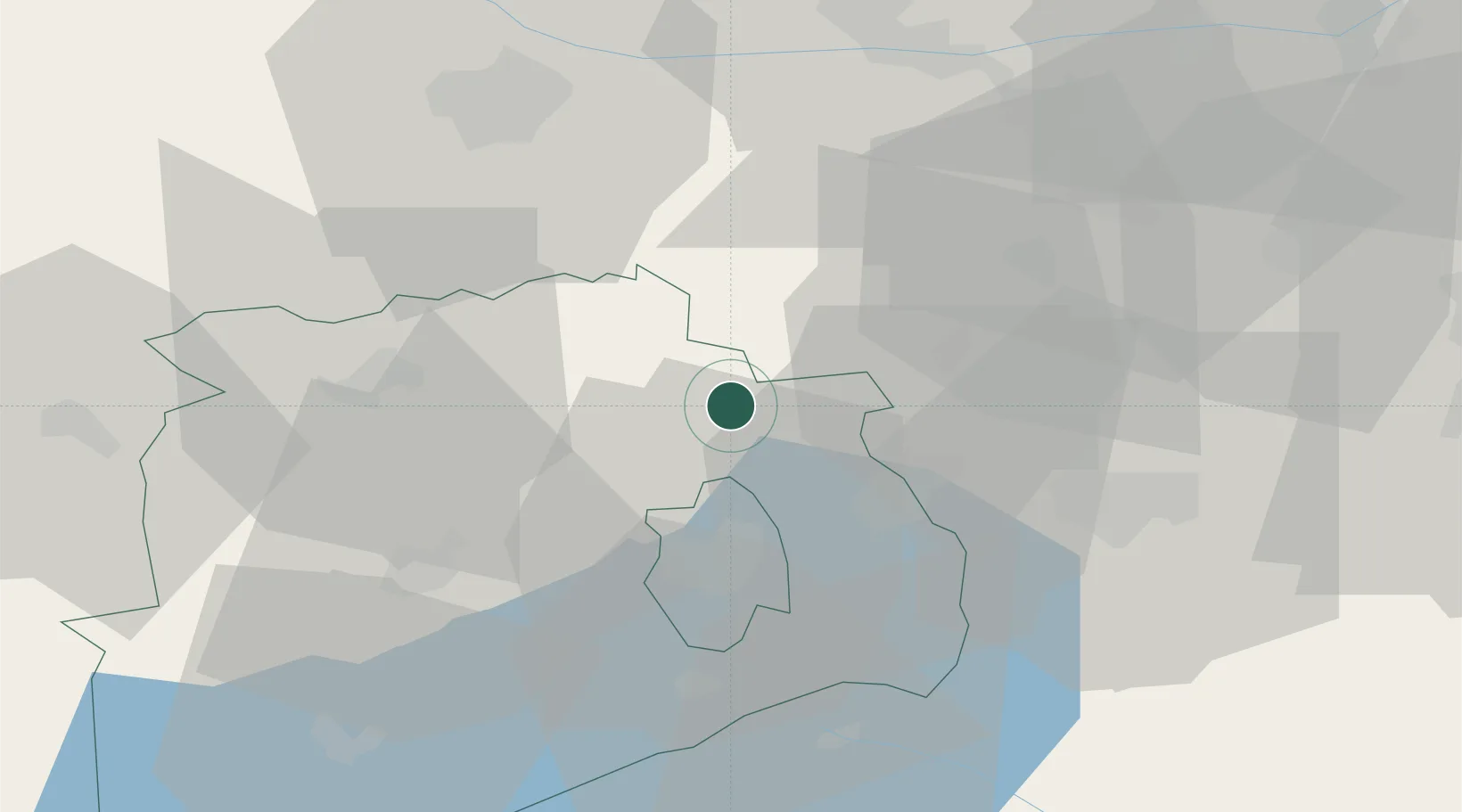
Place type
Populated place
Region
Veszprém
Time zone
Europe/Budapest
Elevation
351 m
Location
Nearby Logistics Neighbours
Ports
- 1Bakar344 km
- 2Rijeka Luka348 km
- 3Senj349 km
- 4Omisalj350 km
- 5Trieste370 km
Airports
- 1Győr-Pér Airport36 km
- 2Tököl Airport79 km
- 3Hévíz–Balaton Airport91 km
- 4Budapest Liszt Ferenc International Airport101 km
- 5Taszár Air Base103 km
Trade Zones
- 1Göd Special Economic Zone101 km
- 2Sjever Free Zone167 km
- 3Veselí nad Moravou Industrial Zone187 km
- 4Subotica Free Zone189 km
- 5Apatin Free Zone198 km
DatabookThe Record of Consolidated Knowledge
Hungary beyond logistics?