Transport Functions
Rail
Road
Hub Profile
Place type
Provincial seat
Region
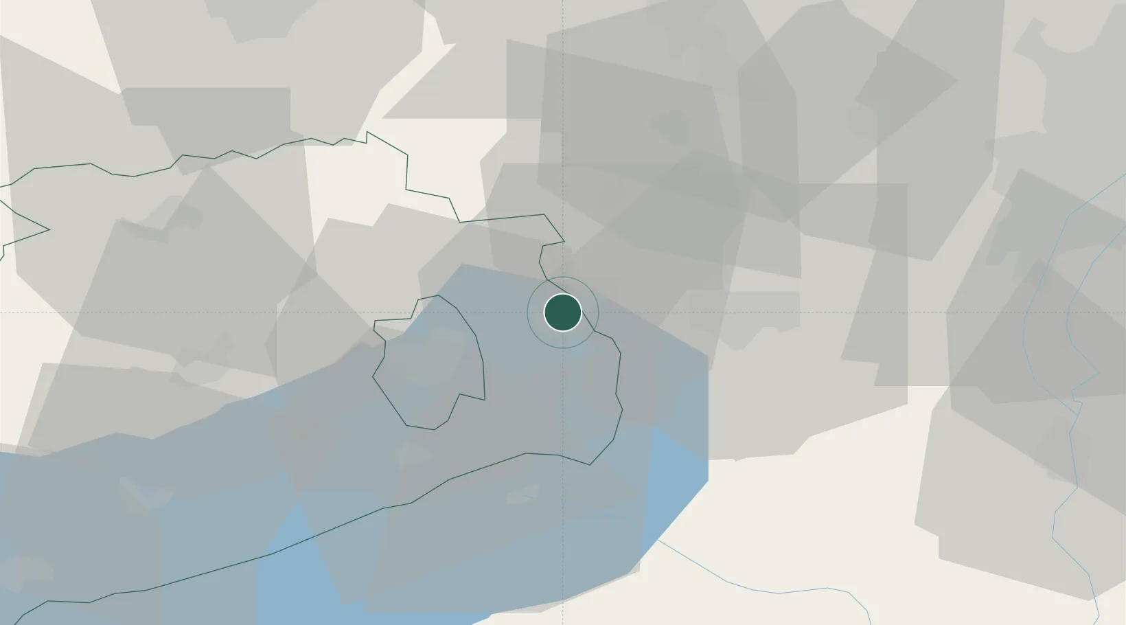
Veszprém
Population
21,299
Time zone
Europe/Budapest
Elevation
158 m
Location
Nearby Logistics Neighbours
Cities
- 1Iszkaszentgyörgy13 km
- 2Litér14 km
- 3Sárszentmihály16 km
- 4Balatonfuzfo16 km
- 5Dudar20 km
Ports
- 1Bakar348 km
- 2Senj351 km
- 3Rijeka Luka352 km
- 4Omisalj353 km
- 5Zaliv Rasa394 km
Airports
- 1Győr-Pér Airport54 km
- 2Tököl Airport66 km
- 3Budapest Liszt Ferenc International Airport89 km
- 4Taszár Air Base91 km
- 5Hévíz–Balaton Airport93 km
Trade Zones
- 1Göd Special Economic Zone94 km
- 2Subotica Free Zone170 km
- 3Sjever Free Zone170 km
- 4Apatin Free Zone181 km
- 5Veselí nad Moravou Industrial Zone203 km
DatabookThe Record of Consolidated Knowledge
Hungary beyond logistics?