Transport Functions
Rail
Road
Hub Profile
Place type
Regional capital
Region
Veszprém
Population
56,927
Time zone
Europe/Budapest
Elevation
265 m
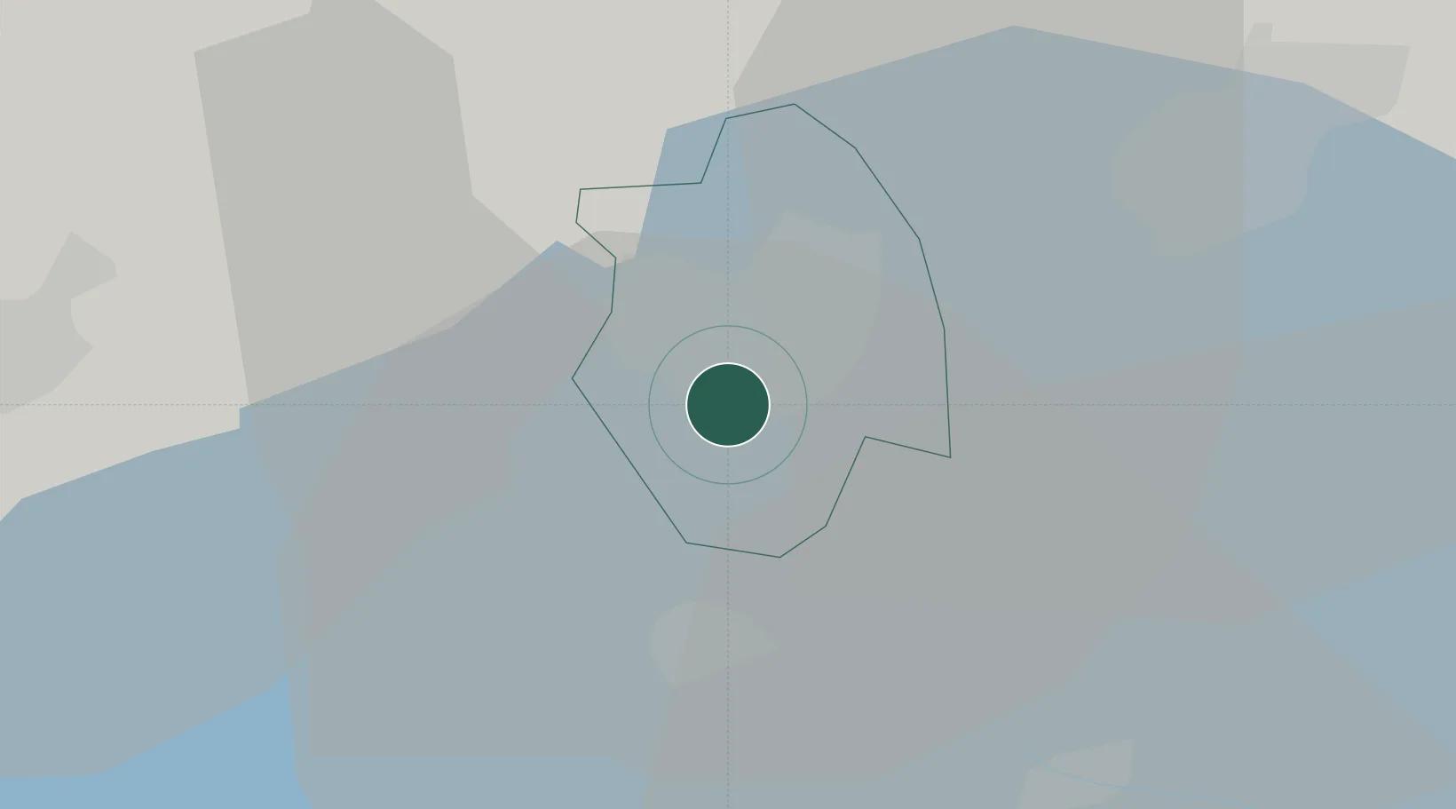
Location
Nearby Logistics Neighbours
Cities
- 1Litér9 km
- 2Balatonfuzfo12 km
- 3Alsóörs13 km
- 4Zirc19 km
- 5Várpalota22 km
Ports
- 1Bakar326 km
- 2Senj329 km
- 3Rijeka Luka330 km
- 4Omisalj331 km
- 5Trieste356 km
Airports
- 1Győr-Pér Airport61 km
- 2Hévíz–Balaton Airport72 km
- 3Taszár Air Base77 km
- 4Tököl Airport87 km
- 5Kalocsa-Foktő Airfield99 km
Trade Zones
- 1Göd Special Economic Zone116 km
- 2Sjever Free Zone148 km
- 3Subotica Free Zone174 km
- 4Apatin Free Zone176 km
- 5Krapina-Zagorje Free Zone186 km
DatabookThe Record of Consolidated Knowledge
Hungary beyond logistics?