Transport Functions
Multimodal
Hub Profile
Place type
Provincial seat
Region
Komárom-Esztergom
Population
5,850
Time zone
Europe/Budapest
Elevation
177 m
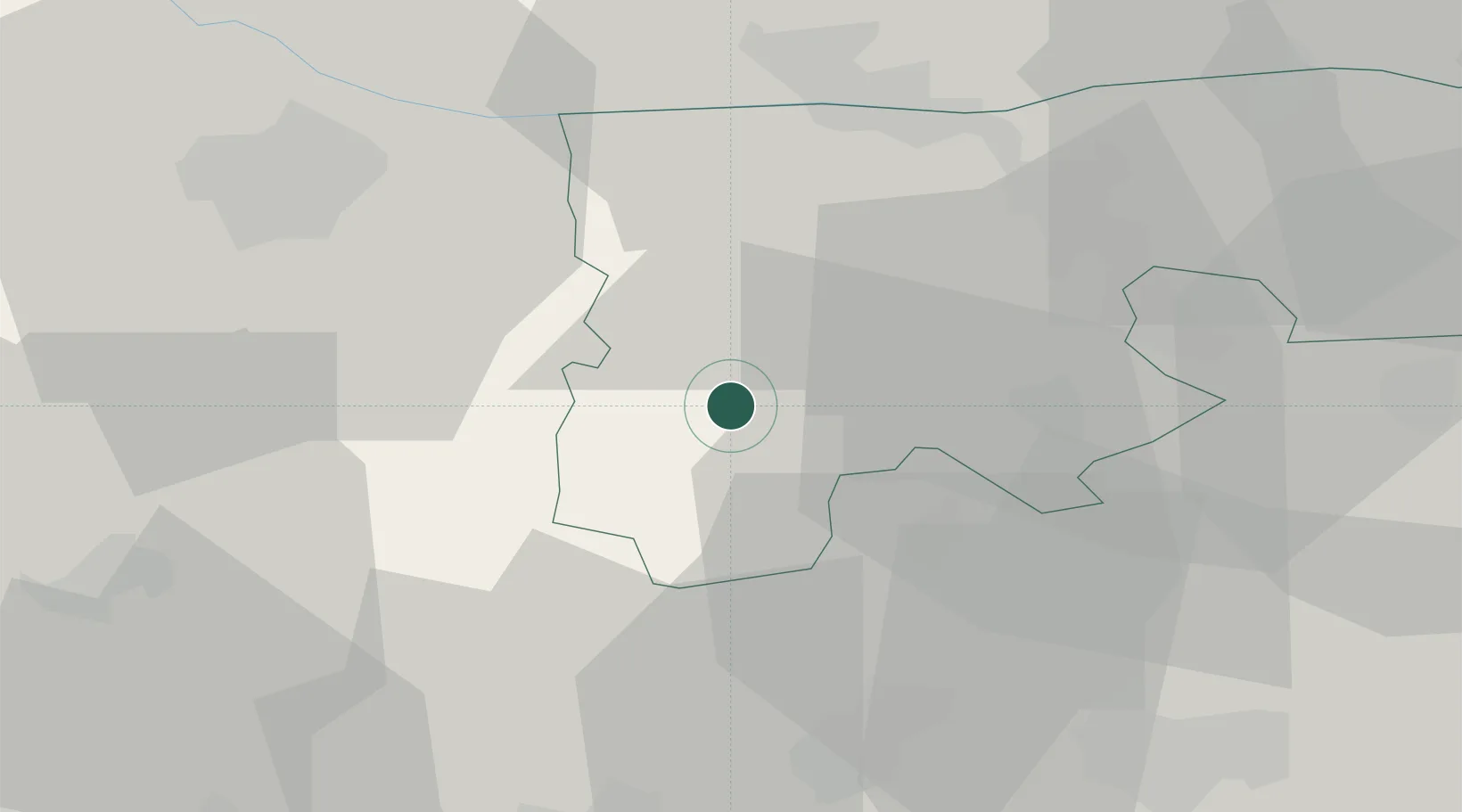
Location
Nearby Logistics Neighbours
Cities
- 1Nagyigmánd15 km
- 2Zalahalap20 km
- 3Oroszlány21 km
- 4Mocsa22 km
- 5Dudar22 km
Ports
- 1Bakar363 km
- 2Rijeka Luka366 km
- 3Omisalj369 km
- 4Senj369 km
- 5Zaliv Rasa409 km
Airports
- 1Győr-Pér Airport22 km
- 2Tököl Airport73 km
- 3Budapest Liszt Ferenc International Airport93 km
- 4M. R. Štefánik Airport97 km
- 5Hévíz–Balaton Airport112 km
Trade Zones
- 1Göd Special Economic Zone87 km
- 2Veselí nad Moravou Industrial Zone169 km
- 3Sjever Free Zone186 km
- 4Subotica Free Zone200 km
- 5Holešov Industrial Zone206 km
DatabookThe Record of Consolidated Knowledge
Hungary beyond logistics?