Transport Functions
Multimodal
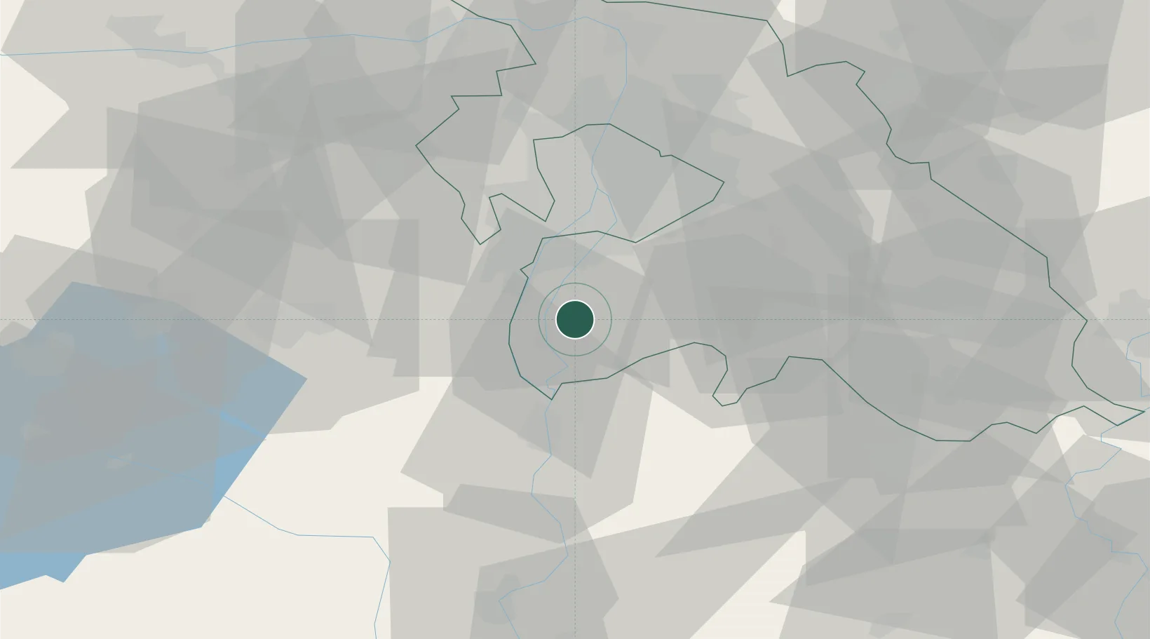
Hub Profile
Place type
Populated place
Region
Pest County
Population
8,980
Time zone
Europe/Budapest
Elevation
97 m
Location
Nearby Logistics Neighbours
Cities
- 1Majoshaza8 km
- 2Szigetcsép8 km
- 3Bugyi10 km
- 4Dunavarsány11 km
- 5Adony15 km
Ports
- 1Senj402 km
- 2Bakar404 km
- 3Omisalj408 km
- 4Rijeka Luka409 km
- 5Zaliv Rasa450 km
Airports
- 1Tököl Airport16 km
- 2Budapest Liszt Ferenc International Airport32 km
- 3Kecskemét Air Base64 km
- 4Kalocsa-Foktő Airfield72 km
- 5Szolnok Air Base93 km
Trade Zones
- 1Göd Special Economic Zone55 km
- 2Subotica Free Zone133 km
- 3Apatin Free Zone169 km
- 4Free Zone Curtici Arad197 km
- 5VGP Park Arad204 km
DatabookThe Record of Consolidated Knowledge
Hungary beyond logistics?