Transport Functions
Port
Rail
Road
Hub Profile
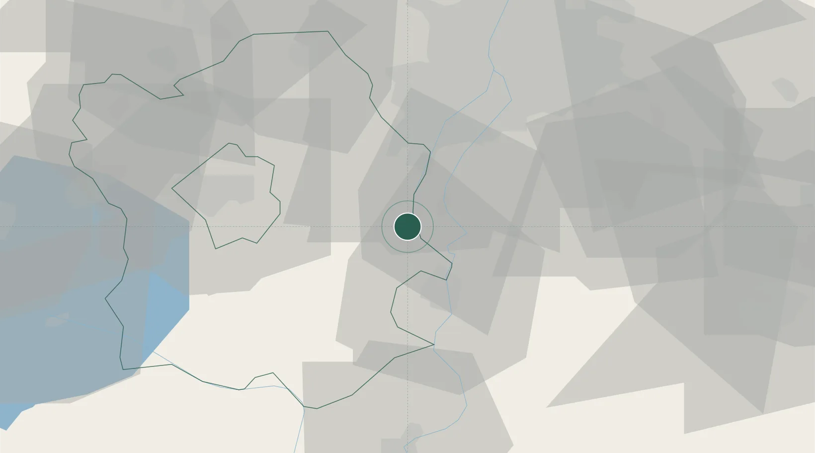
Place type
Populated place
Region
Fejér
Population
3,812
Time zone
Europe/Budapest
Elevation
101 m
Location
Nearby Logistics Neighbours
Cities
- 1Pusztaszabolcs8 km
- 2Kulcs8 km
- 3Rácalmás12 km
- 4Szabadegyháza13 km
- 5Kiskunlacháza15 km
Ports
- 1Senj387 km
- 2Bakar390 km
- 3Omisalj394 km
- 4Rijeka Luka394 km
- 5Zaliv Rasa436 km
Airports
- 1Tököl Airport27 km
- 2Budapest Liszt Ferenc International Airport46 km
- 3Kalocsa-Foktő Airfield63 km
- 4Kecskemét Air Base71 km
- 5Győr-Pér Airport98 km
Trade Zones
- 1Göd Special Economic Zone67 km
- 2Subotica Free Zone130 km
- 3Apatin Free Zone160 km
- 4Podunavska Gospodarska Zona Vukovar198 km
- 5Osijek Free Zone202 km
DatabookThe Record of Consolidated Knowledge
Hungary beyond logistics?