Transport Functions
Multimodal
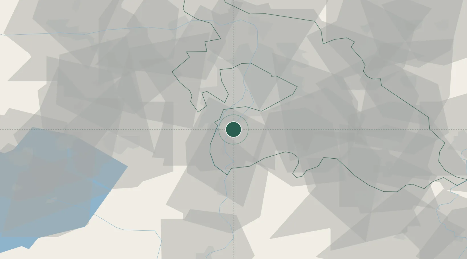
Hub Profile
Place type
Populated place
Region
Pest County
Time zone
Europe/Budapest
Elevation
100 m
Location
Nearby Logistics Neighbours
Cities
- 1Szigetcsép1 km
- 2Dunavarsány7 km
- 3Kiskunlacháza8 km
- 4Százhalombatta9 km
- 5Taksony10 km
Ports
- 1Senj405 km
- 2Bakar407 km
- 3Omisalj411 km
- 4Rijeka Luka411 km
- 5Zaliv Rasa453 km
Airports
- 1Tököl Airport9 km
- 2Budapest Liszt Ferenc International Airport27 km
- 3Kecskemét Air Base69 km
- 4Kalocsa-Foktő Airfield80 km
- 5Szolnok Air Base95 km
Trade Zones
- 1Göd Special Economic Zone48 km
- 2Subotica Free Zone141 km
- 3Apatin Free Zone177 km
- 4Free Zone Curtici Arad201 km
- 5VGP Park Arad209 km
DatabookThe Record of Consolidated Knowledge
Hungary beyond logistics?