Transport Functions
Port
Road
Hub Profile
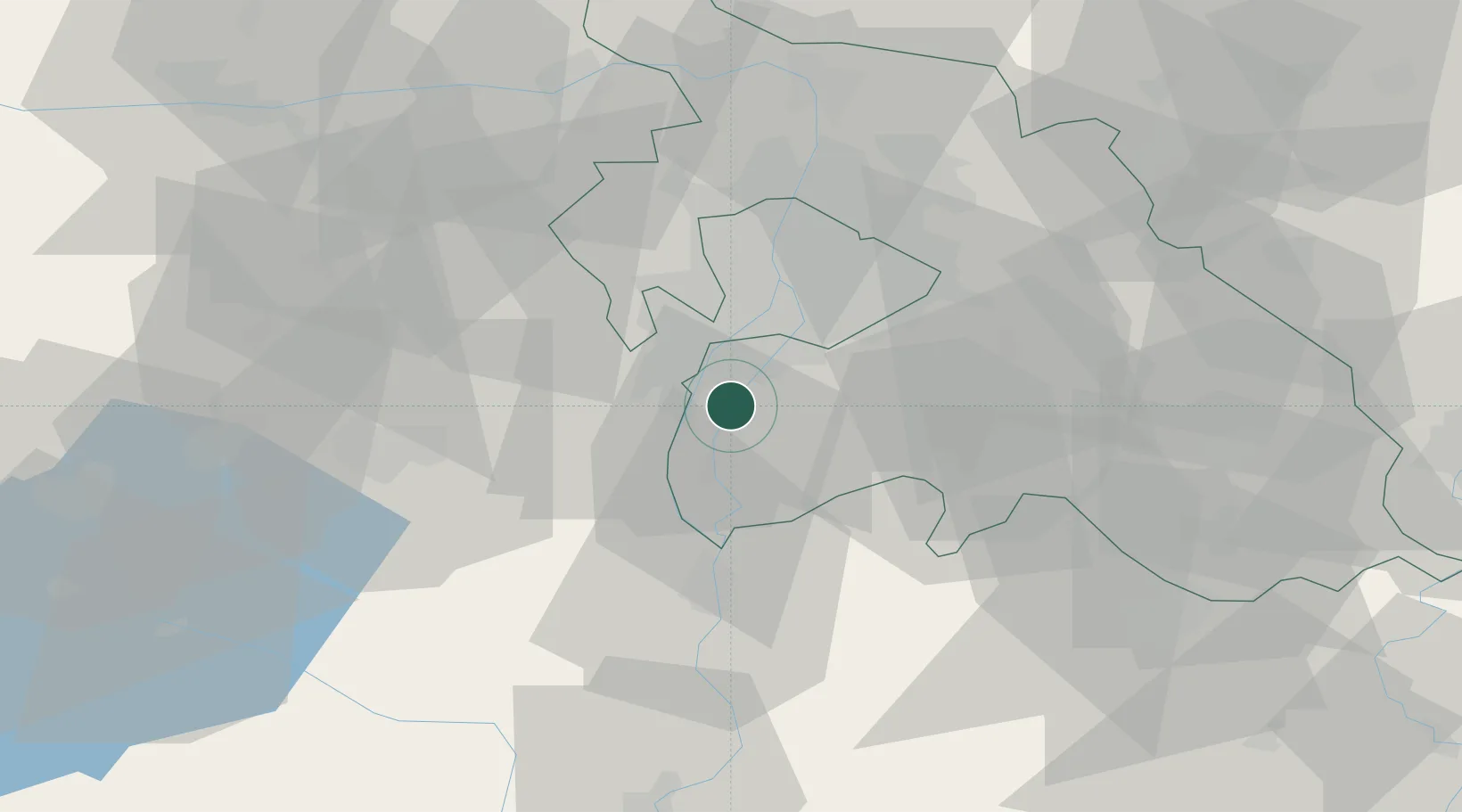
Place type
Populated place
Region
Pest County
Population
2,455
Time zone
Europe/Budapest
Elevation
100 m
Location
Nearby Logistics Neighbours
Cities
- 1Majoshaza1 km
- 2Dunavarsány8 km
- 3Kiskunlacháza8 km
- 4Százhalombatta8 km
- 5Taksony11 km
Ports
- 1Senj404 km
- 2Bakar406 km
- 3Omisalj410 km
- 4Rijeka Luka410 km
- 5Zaliv Rasa452 km
Airports
- 1Tököl Airport9 km
- 2Budapest Liszt Ferenc International Airport28 km
- 3Kecskemét Air Base70 km
- 4Kalocsa-Foktő Airfield80 km
- 5Szolnok Air Base96 km
Trade Zones
- 1Göd Special Economic Zone48 km
- 2Subotica Free Zone141 km
- 3Apatin Free Zone176 km
- 4Free Zone Curtici Arad203 km
- 5VGP Park Arad210 km
DatabookThe Record of Consolidated Knowledge
Hungary beyond logistics?