Transport Functions
Rail
Road
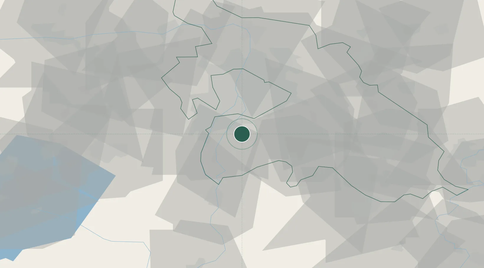
Hub Profile
Place type
Populated place
Region
Pest County
Population
8,341
Time zone
Europe/Budapest
Elevation
97 m
Location
Nearby Logistics Neighbours
Cities
- 1Taksony6 km
- 2Majoshaza7 km
- 3Szigetcsép8 km
- 4Bugyi9 km
- 5Kiskunlacháza11 km
Ports
- 1Senj411 km
- 2Bakar413 km
- 3Omisalj417 km
- 4Rijeka Luka418 km
- 5Zaliv Rasa459 km
Airports
- 1Tököl Airport10 km
- 2Budapest Liszt Ferenc International Airport21 km
- 3Kecskemét Air Base65 km
- 4Kalocsa-Foktő Airfield82 km
- 5Szolnok Air Base89 km
Trade Zones
- 1Göd Special Economic Zone45 km
- 2Subotica Free Zone141 km
- 3Apatin Free Zone179 km
- 4Free Zone Curtici Arad197 km
- 5VGP Park Arad205 km
DatabookThe Record of Consolidated Knowledge
Hungary beyond logistics?