Transport Functions
Multimodal
Hub Profile
Place type
Populated place
Region
Zala County
Time zone
Europe/Budapest
Elevation
116 m
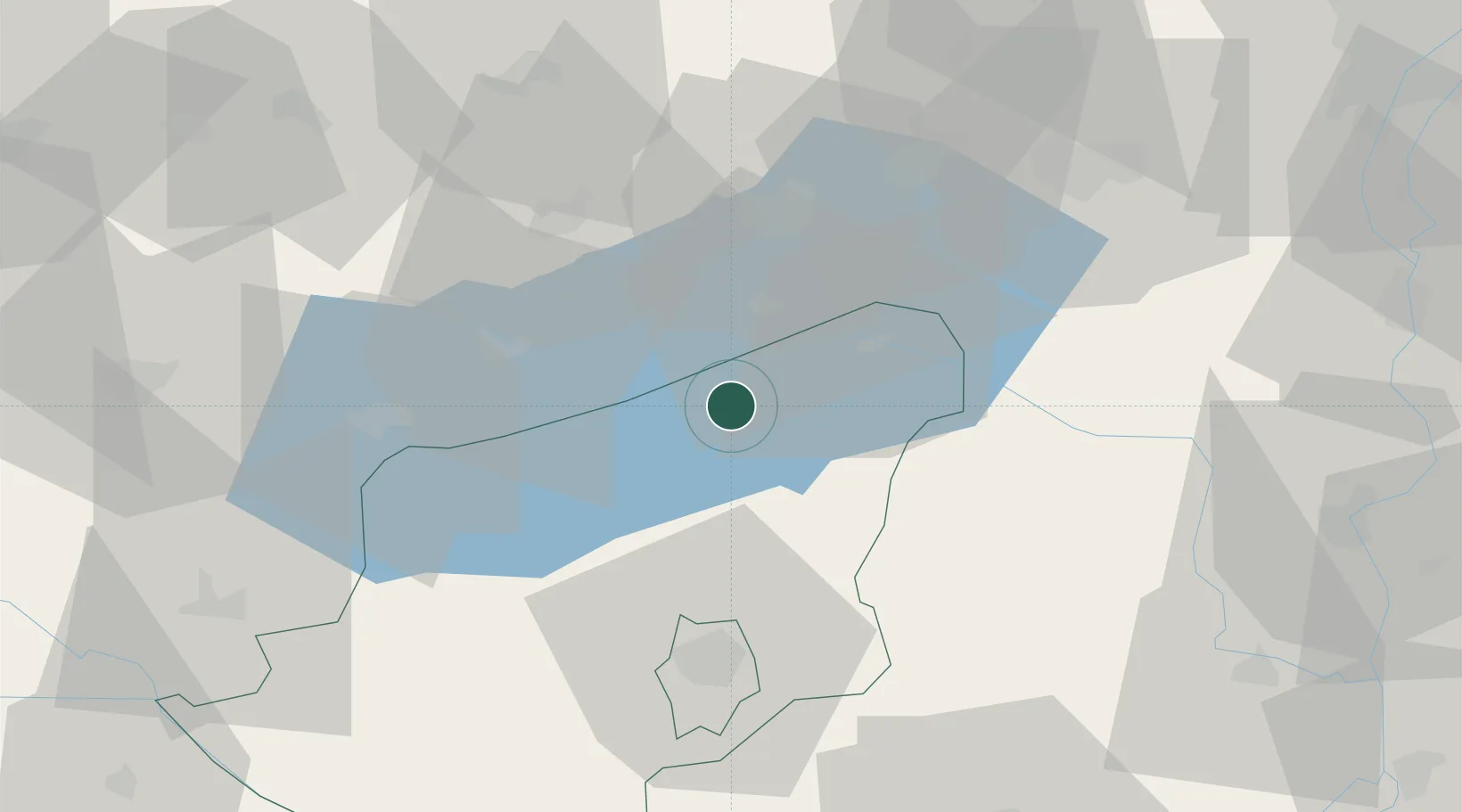
Location
Nearby Logistics Neighbours
Cities
- 1Balatonszárszó4 km
- 2Siófok20 km
- 3Kekkut21 km
- 4Badacsonyörs23 km
- 5Alsóörs23 km
Ports
- 1Senj304 km
- 2Bakar304 km
- 3Omisalj309 km
- 4Rijeka Luka309 km
- 5Trieste339 km
Airports
- 1Taszár Air Base46 km
- 2Hévíz–Balaton Airport53 km
- 3Kalocsa-Foktő Airfield89 km
- 4Győr-Pér Airport92 km
- 5Pécs-Pogány International Airport96 km
Trade Zones
- 1Sjever Free Zone128 km
- 2Göd Special Economic Zone140 km
- 3Apatin Free Zone152 km
- 4Subotica Free Zone160 km
- 5Krapina-Zagorje Free Zone166 km
DatabookThe Record of Consolidated Knowledge
Hungary beyond logistics?