Transport Functions
Rail
Road
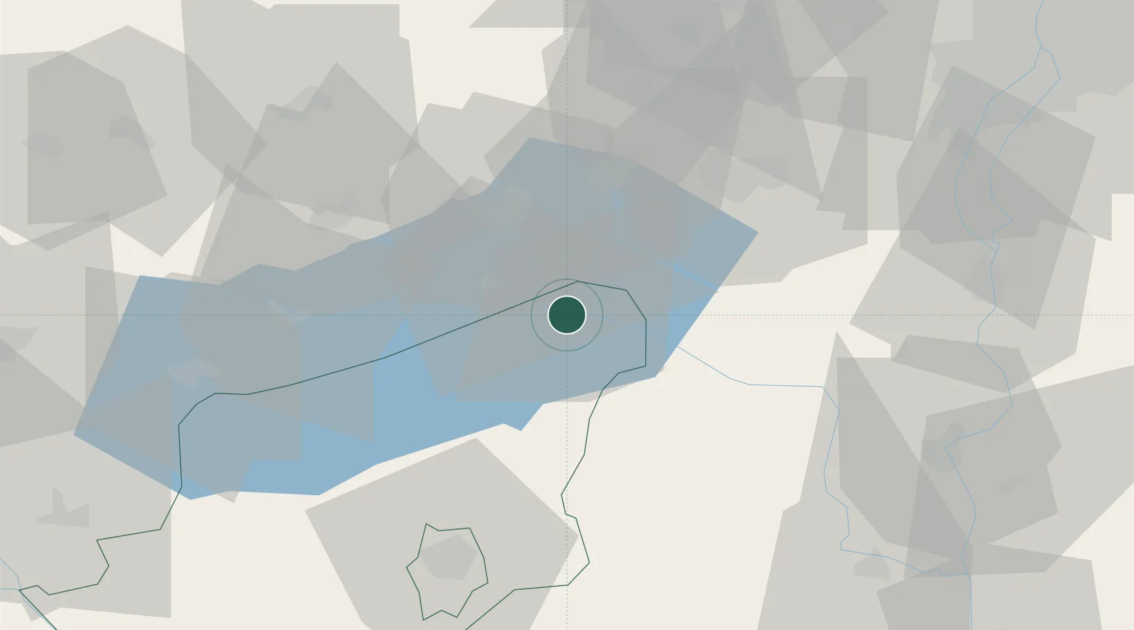
Hub Profile
Place type
Provincial seat
Region
Somogy County
Population
23,028
Time zone
Europe/Budapest
Elevation
107 m
Location
Nearby Logistics Neighbours
Cities
- 1Alsóörs11 km
- 2Enying16 km
- 3Balatonszárszó18 km
- 4Balatonfuzfo19 km
- 5Zalacsany20 km
Ports
- 1Senj324 km
- 2Bakar324 km
- 3Omisalj329 km
- 4Rijeka Luka329 km
- 5Zaliv Rasa370 km
Airports
- 1Taszár Air Base57 km
- 2Hévíz–Balaton Airport72 km
- 3Kalocsa-Foktő Airfield78 km
- 4Győr-Pér Airport83 km
- 5Tököl Airport86 km
Trade Zones
- 1Göd Special Economic Zone121 km
- 2Sjever Free Zone147 km
- 3Subotica Free Zone152 km
- 4Apatin Free Zone153 km
- 5Osijek Free Zone178 km
DatabookThe Record of Consolidated Knowledge
Hungary beyond logistics?