Transport Functions
Port
Multimodal
Hub Profile
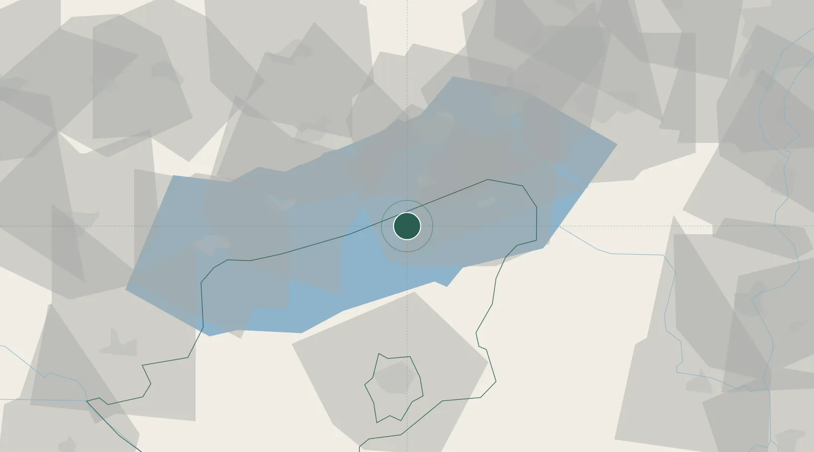
Place type
Populated place
Region
Somogy County
Population
1,992
Time zone
Europe/Budapest
Elevation
114 m
Location
Nearby Logistics Neighbours
Cities
- 1Zalacsany4 km
- 2Siófok18 km
- 3Alsóörs20 km
- 4Kekkut20 km
- 5Badacsonyörs23 km
Ports
- 1Senj306 km
- 2Bakar306 km
- 3Omisalj311 km
- 4Rijeka Luka311 km
- 5Trieste341 km
Airports
- 1Taszár Air Base49 km
- 2Hévíz–Balaton Airport54 km
- 3Győr-Pér Airport88 km
- 4Kalocsa-Foktő Airfield90 km
- 5Pécs-Pogány International Airport99 km
Trade Zones
- 1Sjever Free Zone129 km
- 2Göd Special Economic Zone138 km
- 3Apatin Free Zone155 km
- 4Subotica Free Zone162 km
- 5Krapina-Zagorje Free Zone168 km
DatabookThe Record of Consolidated Knowledge
Hungary beyond logistics?