Transport Functions
Port
Multimodal
Hub Profile
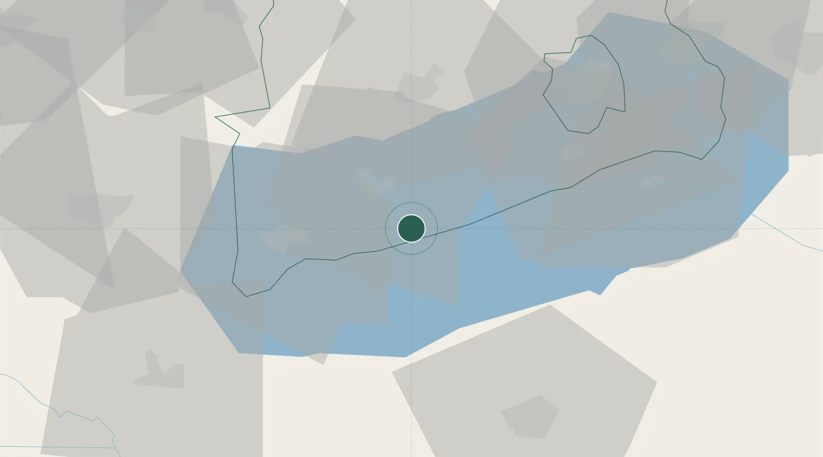
Place type
Populated place
Region
Veszprém
Time zone
Europe/Budapest
Elevation
100 m
Location
Nearby Logistics Neighbours
Cities
- 1Kekkut6 km
- 2Tapolca12 km
- 3Keszthely22 km
- 4Zalacsany23 km
- 5Balatonszárszó23 km
Ports
- 1Bakar285 km
- 2Senj287 km
- 3Rijeka Luka289 km
- 4Omisalj290 km
- 5Trieste318 km
Airports
- 1Hévíz–Balaton Airport31 km
- 2Taszár Air Base54 km
- 3Győr-Pér Airport94 km
- 4Pécs-Pogány International Airport105 km
- 5Kalocsa-Foktő Airfield111 km
Trade Zones
- 1Sjever Free Zone107 km
- 2Krapina-Zagorje Free Zone146 km
- 3Göd Special Economic Zone157 km
- 4Apatin Free Zone166 km
- 5PJ Free Zone Zagreb169 km
DatabookThe Record of Consolidated Knowledge
Hungary beyond logistics?