Transport Functions
Port
Multimodal
Hub Profile
Place type
Populated place
Region
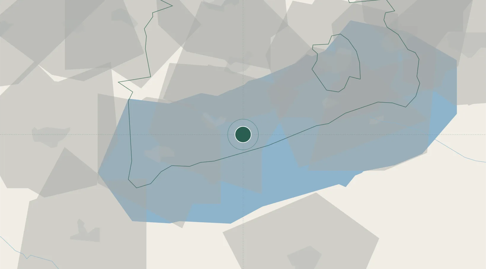
Veszprém
Time zone
Europe/Budapest
Elevation
138 m
Location
Nearby Logistics Neighbours
Cities
- 1Badacsonyörs6 km
- 2Tapolca11 km
- 3Balatonszárszó20 km
- 4Zalacsany21 km
- 5Keszthely26 km
Ports
- 1Bakar291 km
- 2Senj293 km
- 3Rijeka Luka295 km
- 4Omisalj295 km
- 5Trieste323 km
Airports
- 1Hévíz–Balaton Airport36 km
- 2Taszár Air Base57 km
- 3Győr-Pér Airport88 km
- 4Pécs-Pogány International Airport109 km
- 5Kalocsa-Foktő Airfield110 km
Trade Zones
- 1Sjever Free Zone113 km
- 2Krapina-Zagorje Free Zone151 km
- 3Göd Special Economic Zone152 km
- 4Apatin Free Zone169 km
- 5PJ Free Zone Zagreb175 km
DatabookThe Record of Consolidated Knowledge
Hungary beyond logistics?