Transport Functions
Port
Rail
Road
Hub Profile
Place type
Populated place
Region
Veszprém
Time zone
Europe/Budapest
Elevation
127 m
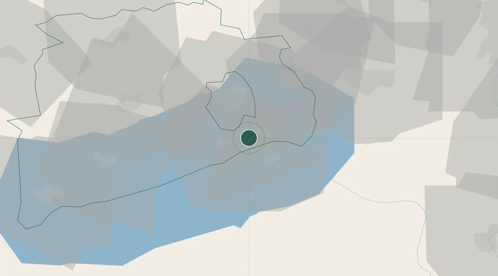
Location
Nearby Logistics Neighbours
Cities
- 1Balatonfuzfo11 km
- 2Siófok11 km
- 3Veszprém13 km
- 4Litér13 km
- 5Balatonszárszó20 km
Ports
- 1Bakar325 km
- 2Senj326 km
- 3Rijeka Luka329 km
- 4Omisalj330 km
- 5Trieste358 km
Airports
- 1Taszár Air Base66 km
- 2Hévíz–Balaton Airport71 km
- 3Győr-Pér Airport73 km
- 4Tököl Airport86 km
- 5Kalocsa-Foktő Airfield87 km
Trade Zones
- 1Göd Special Economic Zone118 km
- 2Sjever Free Zone147 km
- 3Subotica Free Zone162 km
- 4Apatin Free Zone163 km
- 5Krapina-Zagorje Free Zone186 km
DatabookThe Record of Consolidated Knowledge
Hungary beyond logistics?