Transport Functions
Rail
Road
Hub Profile
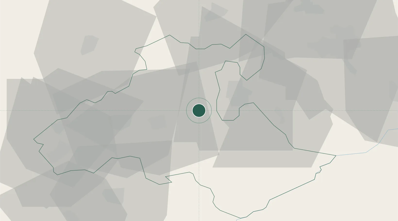
Place type
Populated place
Region
Heves County
Population
4,016
Time zone
Europe/Budapest
Elevation
150 m
Location
Nearby Logistics Neighbours
Cities
- 1Tofalu8 km
- 2Sirok10 km
- 3Andornaktálya14 km
- 4Fuzesabony18 km
- 5Gyöngyös25 km
Ports
- 1Senj518 km
- 2Bakar520 km
- 3Rijeka Luka524 km
- 4Omisalj524 km
- 5Dugi Rat563 km
Airports
- 1Szolnok Air Base81 km
- 2Budapest Liszt Ferenc International Airport86 km
- 3Tököl Airport109 km
- 4Kecskemét Air Base110 km
- 5Debrecen International Airport111 km
Trade Zones
- 1Göd Special Economic Zone82 km
- 2Customs Free Zone Zahony155 km
- 3Transcarpathian Special Economic Zone (Zakarpattia)175 km
- 4Free Zone Curtici Arad185 km
- 5VGP Park Arad201 km
DatabookThe Record of Consolidated Knowledge
Hungary beyond logistics?