Transport Functions
Port
Rail
Road
Hub Profile
Place type
Populated place
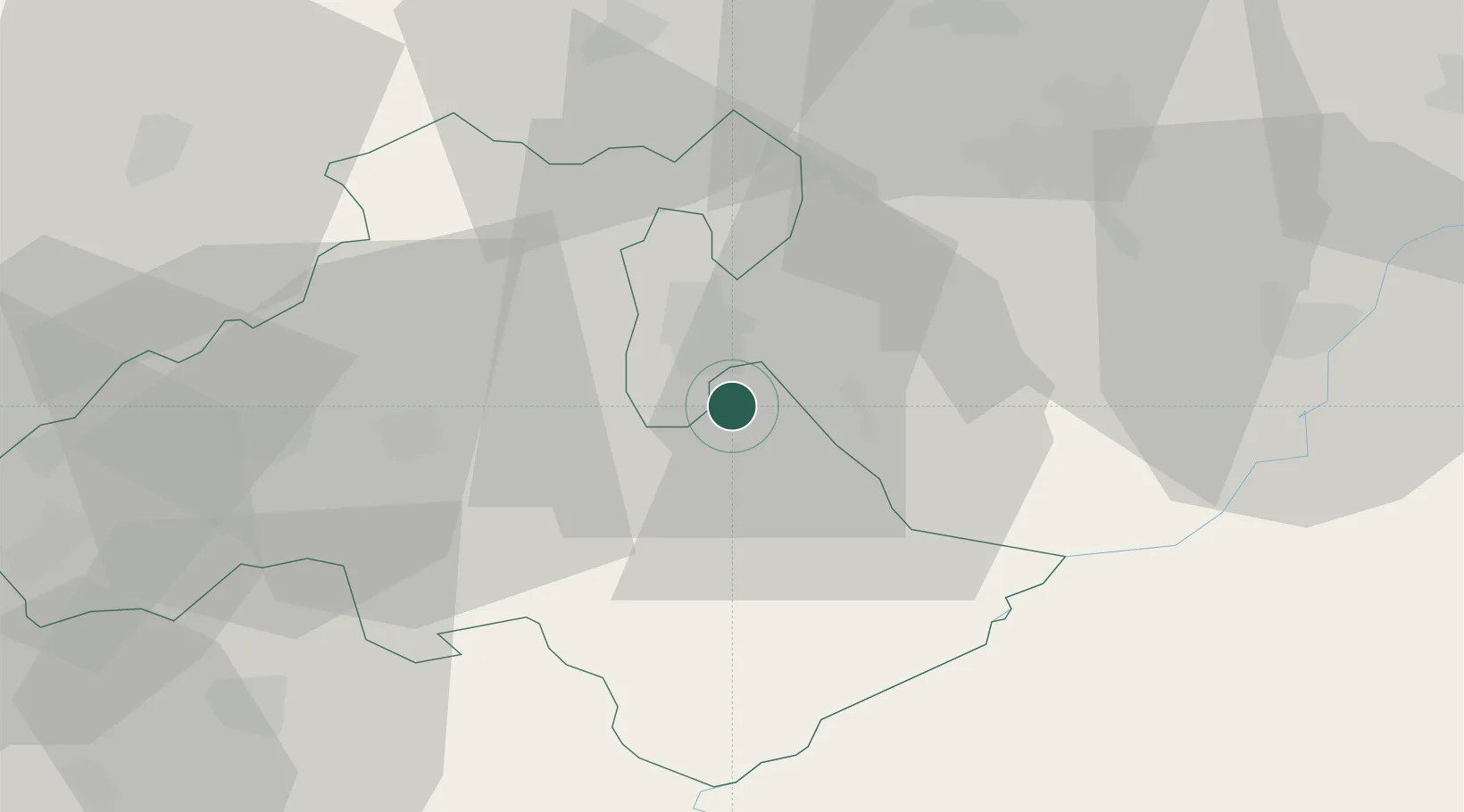
Region
Heves County
Population
2,604
Time zone
Europe/Budapest
Elevation
172 m
Location
Nearby Logistics Neighbours
Cities
- 1Fuzesabony9 km
- 2Tofalu14 km
- 3Verpelét14 km
- 4Sirok20 km
- 5Gelej27 km
Ports
- 1Senj528 km
- 2Bakar531 km
- 3Omisalj535 km
- 4Rijeka Luka535 km
- 5Dugi Rat568 km
Airports
Trade Zones
- 1Göd Special Economic Zone95 km
- 2Customs Free Zone Zahony144 km
- 3Transcarpathian Special Economic Zone (Zakarpattia)164 km
- 4Free Zone Curtici Arad177 km
- 5VGP Park Arad195 km
DatabookThe Record of Consolidated Knowledge
Hungary beyond logistics?