Transport Functions
Multimodal
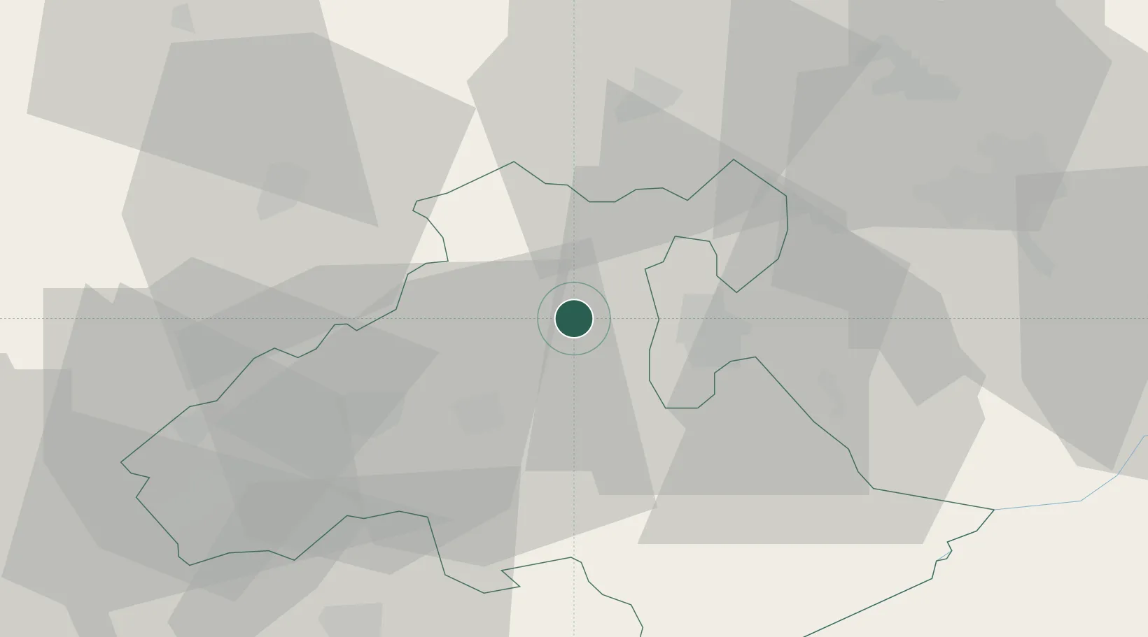
Hub Profile
Place type
Populated place
Region
Heves County
Population
2,068
Time zone
Europe/Budapest
Elevation
173 m
Location
Nearby Logistics Neighbours
Cities
- 1Verpelét10 km
- 2Tofalu17 km
- 3Andornaktálya20 km
- 4Fuzesabony26 km
- 5Gyöngyös27 km
Ports
- 1Senj522 km
- 2Bakar522 km
- 3Rijeka Luka527 km
- 4Omisalj527 km
- 5Zaliv Rasa568 km
Airports
- 1Budapest Liszt Ferenc International Airport90 km
- 2Szolnok Air Base90 km
- 3Sliač Airport111 km
- 4Košice International Airport112 km
- 5Tököl Airport112 km
Trade Zones
- 1Göd Special Economic Zone82 km
- 2Customs Free Zone Zahony154 km
- 3Transcarpathian Special Economic Zone (Zakarpattia)172 km
- 4Free Zone Curtici Arad194 km
- 5VGP Park Arad211 km
DatabookThe Record of Consolidated Knowledge
Hungary beyond logistics?