Transport Functions
Multimodal
Hub Profile
Place type
Provincial seat
Region
Heves County
Population
8,182
Time zone
Europe/Budapest
Elevation
112 m
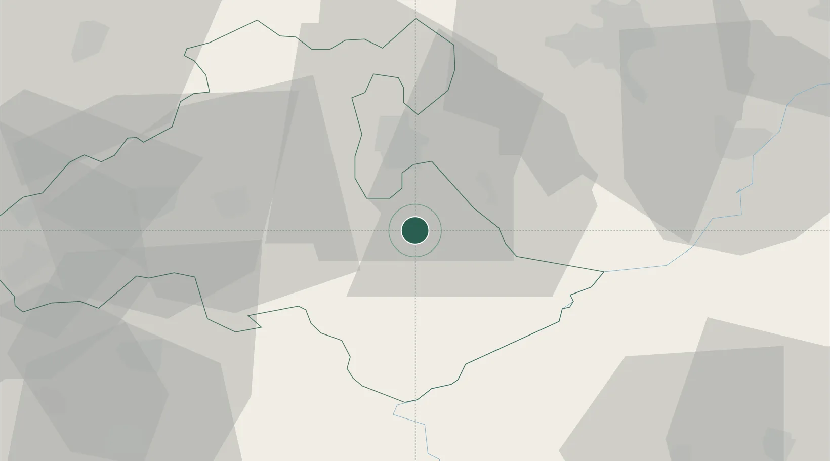
Location
Nearby Logistics Neighbours
Cities
- 1Andornaktálya9 km
- 2Tofalu13 km
- 3Verpelét18 km
- 4Heves19 km
- 5Sirok26 km
Ports
- 1Senj523 km
- 2Bakar526 km
- 3Omisalj530 km
- 4Rijeka Luka531 km
- 5Dugi Rat561 km
Airports
- 1Szolnok Air Base71 km
- 2Budapest Liszt Ferenc International Airport94 km
- 3Debrecen International Airport95 km
- 4Kecskemét Air Base105 km
- 5Tököl Airport117 km
Trade Zones
- 1Göd Special Economic Zone94 km
- 2Customs Free Zone Zahony148 km
- 3Free Zone Curtici Arad169 km
- 4Transcarpathian Special Economic Zone (Zakarpattia)169 km
- 5VGP Park Arad186 km
DatabookThe Record of Consolidated Knowledge
Hungary beyond logistics?