Transport Functions
Multimodal
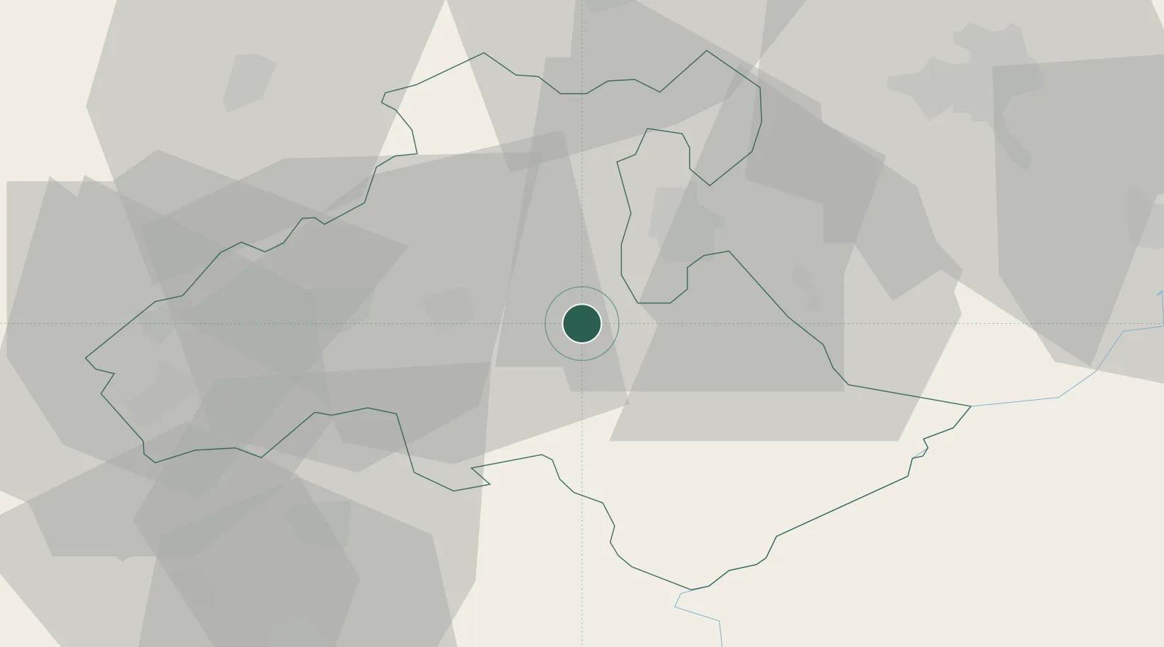
Hub Profile
Place type
Populated place
Region
Heves County
Time zone
Europe/Budapest
Elevation
125 m
Location
Nearby Logistics Neighbours
Cities
- 1Verpelét8 km
- 2Fuzesabony13 km
- 3Andornaktálya14 km
- 4Sirok17 km
- 5Heves21 km
Ports
- 1Senj515 km
- 2Bakar517 km
- 3Omisalj521 km
- 4Rijeka Luka521 km
- 5Dugi Rat557 km
Airports
- 1Szolnok Air Base73 km
- 2Budapest Liszt Ferenc International Airport84 km
- 3Kecskemét Air Base103 km
- 4Tököl Airport107 km
- 5Debrecen International Airport108 km
Trade Zones
- 1Göd Special Economic Zone82 km
- 2Customs Free Zone Zahony157 km
- 3Transcarpathian Special Economic Zone (Zakarpattia)177 km
- 4Free Zone Curtici Arad178 km
- 5VGP Park Arad194 km
DatabookThe Record of Consolidated Knowledge
Hungary beyond logistics?