Transport Functions
Multimodal
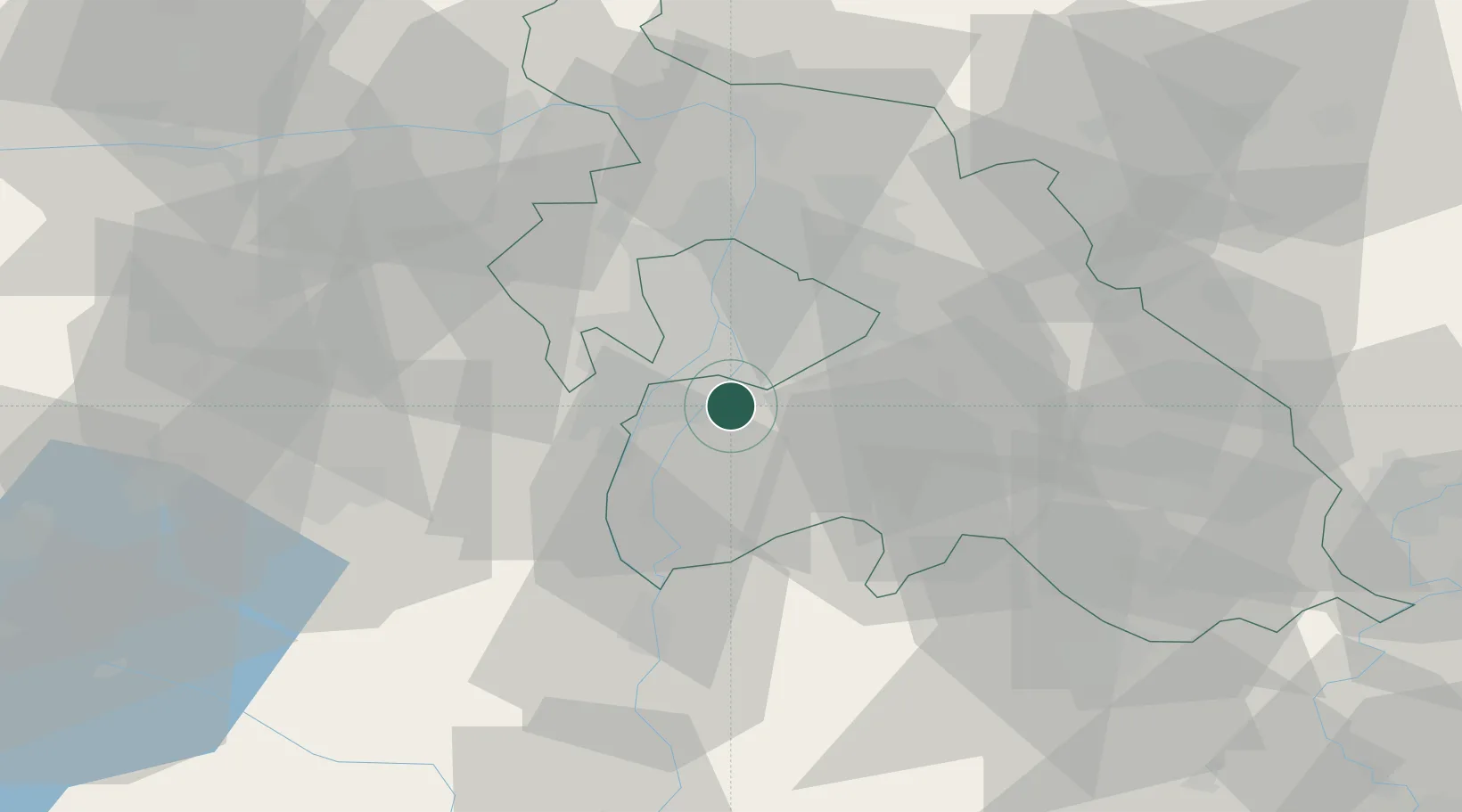
Hub Profile
Place type
Populated place
Region
Pest County
Population
6,129
Time zone
Europe/Budapest
Elevation
105 m
Location
Nearby Logistics Neighbours
Cities
- 1Dunavarsány6 km
- 2Szigetszentmiklós7 km
- 3Budapest8 km
- 4Halásztelek8 km
- 5Csepel9 km
Ports
- 1Senj415 km
- 2Bakar416 km
- 3Omisalj420 km
- 4Rijeka Luka421 km
- 5Zaliv Rasa462 km
Airports
- 1Tököl Airport8 km
- 2Budapest Liszt Ferenc International Airport17 km
- 3Kecskemét Air Base68 km
- 4Kalocsa-Foktő Airfield88 km
- 5Szolnok Air Base90 km
Trade Zones
- 1Göd Special Economic Zone39 km
- 2Subotica Free Zone146 km
- 3Apatin Free Zone184 km
- 4Free Zone Curtici Arad200 km
- 5VGP Park Arad209 km
DatabookThe Record of Consolidated Knowledge
Hungary beyond logistics?