UN/LOCODE hub · Hungary
HUSZM
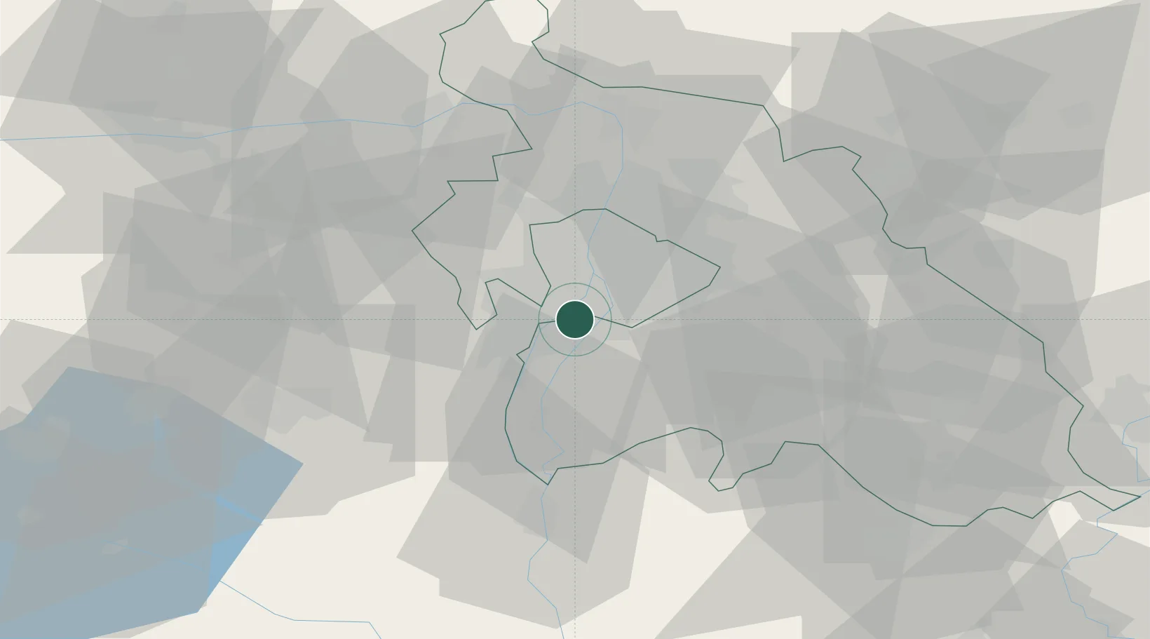
Szigetszentmiklós
47.3768°, 19.0245°
24,874
Population
3
Transport functions
Transport Functions
Port
Rail
Road
Hub Profile
Place type
Provincial seat
Region
Pest County
Population
24,874
Time zone
Europe/Budapest
Elevation
99 m
Logistics facilities
1
Location
Nearby Logistics Neighbours
Cities
- 1Halásztelek3 km
- 2Csepel5 km
- 3Budapest6 km
- 4Taksony7 km
- 5Erd7 km
Ports
- 1Senj414 km
- 2Bakar415 km
- 3Rijeka Luka419 km
- 4Omisalj419 km
- 5Zaliv Rasa461 km
Airports
- 1Tököl Airport5 km
- 2Budapest Liszt Ferenc International Airport19 km
- 3Kecskemét Air Base75 km
- 4Kalocsa-Foktő Airfield92 km
- 5Szolnok Air Base96 km
Trade Zones
- 1Göd Special Economic Zone35 km
- 2Subotica Free Zone152 km
- 3Apatin Free Zone189 km
- 4Free Zone Curtici Arad206 km
- 5Veselí nad Moravou Industrial Zone214 km
DatabookThe Record of Consolidated Knowledge
Hungary beyond logistics?