Transport Functions
Port
Road
Hub Profile
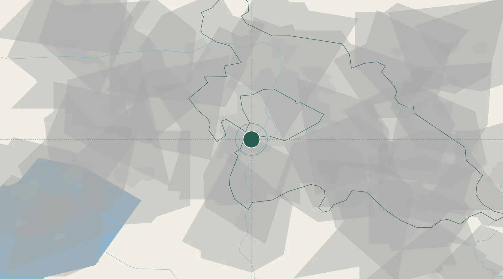
Place type
Populated place
Region
Pest County
Population
7,245
Time zone
Europe/Budapest
Elevation
99 m
Location
Nearby Logistics Neighbours
Cities
- 1Szigetszentmiklós3 km
- 2Erd4 km
- 3Százhalombatta5 km
- 4Csepel8 km
- 5Taksony8 km
Ports
- 1Senj411 km
- 2Bakar412 km
- 3Rijeka Luka416 km
- 4Omisalj416 km
- 5Zaliv Rasa458 km
Airports
- 1Tököl Airport2 km
- 2Budapest Liszt Ferenc International Airport22 km
- 3Kecskemét Air Base77 km
- 4Kalocsa-Foktő Airfield91 km
- 5Győr-Pér Airport93 km
Trade Zones
- 1Göd Special Economic Zone37 km
- 2Subotica Free Zone152 km
- 3Apatin Free Zone188 km
- 4Free Zone Curtici Arad208 km
- 5Veselí nad Moravou Industrial Zone213 km
DatabookThe Record of Consolidated Knowledge
Hungary beyond logistics?