Transport Functions
Port
Rail
Road
Airport
Postal
Hub Profile
Place type
National capital
Region
Budapest
Population
1,741,041
Time zone
Europe/Budapest
Elevation
104 m
Logistics facilities
12
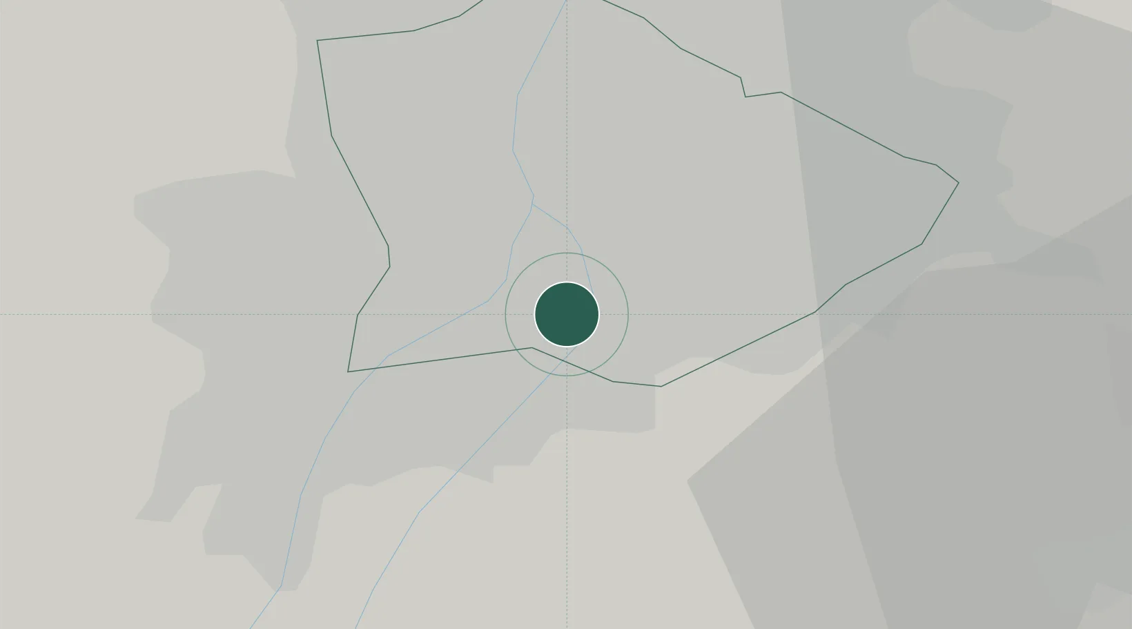
Location
Nearby Logistics Neighbours
Cities
- 1Csepel2 km
- 2Szigetszentmiklós6 km
- 3Ferencvaros7 km
- 4Lágymányos7 km
- 5Taksony8 km
Ports
- 1Senj420 km
- 2Bakar420 km
- 3Rijeka Luka425 km
- 4Omisalj425 km
- 5Zaliv Rasa466 km
Airports
- 1Tököl Airport10 km
- 2Budapest Liszt Ferenc International Airport14 km
- 3Kecskemét Air Base74 km
- 4Szolnok Air Base92 km
- 5Kalocsa-Foktő Airfield96 km
Trade Zones
- 1Göd Special Economic Zone31 km
- 2Subotica Free Zone153 km
- 3Apatin Free Zone192 km
- 4Free Zone Curtici Arad204 km
- 5VGP Park Arad213 km
DatabookThe Record of Consolidated Knowledge
Hungary beyond logistics?