Transport Functions
Port
Road
Hub Profile
Place type
Urban district
Region
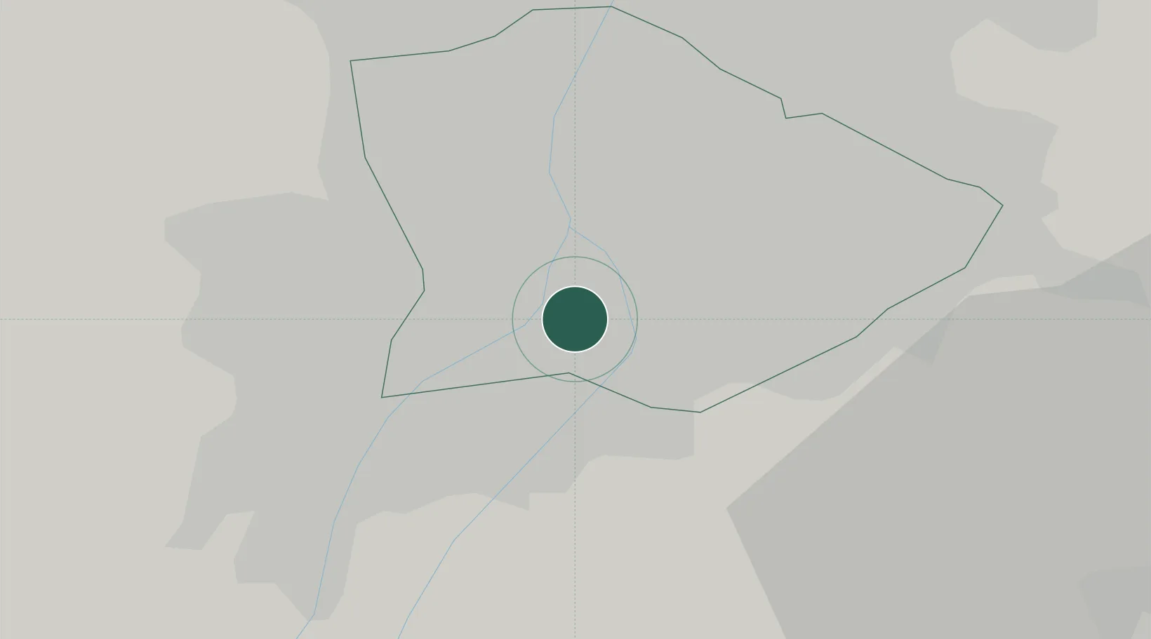
Budapest
Time zone
Europe/Budapest
Elevation
106 m
Location
Nearby Logistics Neighbours
Cities
- 1Budapest2 km
- 2Szigetszentmiklós5 km
- 3Ferencvaros6 km
- 4Lágymányos6 km
- 5Halásztelek8 km
Ports
- 1Senj420 km
- 2Bakar420 km
- 3Rijeka Luka424 km
- 4Omisalj424 km
- 5Zaliv Rasa466 km
Airports
- 1Tököl Airport10 km
- 2Budapest Liszt Ferenc International Airport15 km
- 3Kecskemét Air Base76 km
- 4Szolnok Air Base94 km
- 5Kalocsa-Foktő Airfield97 km
Trade Zones
- 1Göd Special Economic Zone30 km
- 2Subotica Free Zone155 km
- 3Apatin Free Zone193 km
- 4Free Zone Curtici Arad206 km
- 5Veselí nad Moravou Industrial Zone212 km
DatabookThe Record of Consolidated Knowledge
Hungary beyond logistics?